Open an Unknown GIS File
Drop a file into your browser to identify the format, map its features, and inspect it without desktop GIS software.
Open a file in StudioAnalyze and convert your spatial data directly in your browser. No uploads, no servers, 100% secure. Supports 20+ formats including GeoJSON, Shapefile, KML, GPX, and AutoCAD.
Your sensitive geospatial data never leaves your device. We use advanced WebAssembly technology to process everything right in your browser.
Stop worrying about file formats. Drag and drop Shapefiles, KML, GeoJSON, GPX, DXF, DWG, and many more. We handle the conversion.
Inspect attribute tables, filter data, style your maps, and export to modern formats like GeoJSON or FlatGeobuf with ease.
Click on a format to learn more about how to view and convert it online — from GeoJSON to Shapefile, KML to GPX, and beyond.
View, edit, validate, and convert GeoJSON for web maps, APIs, and desktop GIS.
.shpOpen SHP files, inspect sidecars and CRS metadata, and convert legacy GIS data.
.gmlInspect OGC GML, check its coordinate system, and convert it for modern GIS tools.
.gpxView GPS tracks and waypoints, use the GPS converter, and export GPX for maps or GIS.
Start with the task at hand—no installation, upload, or account required.
Drop a file into your browser to identify the format, map its features, and inspect it without desktop GIS software.
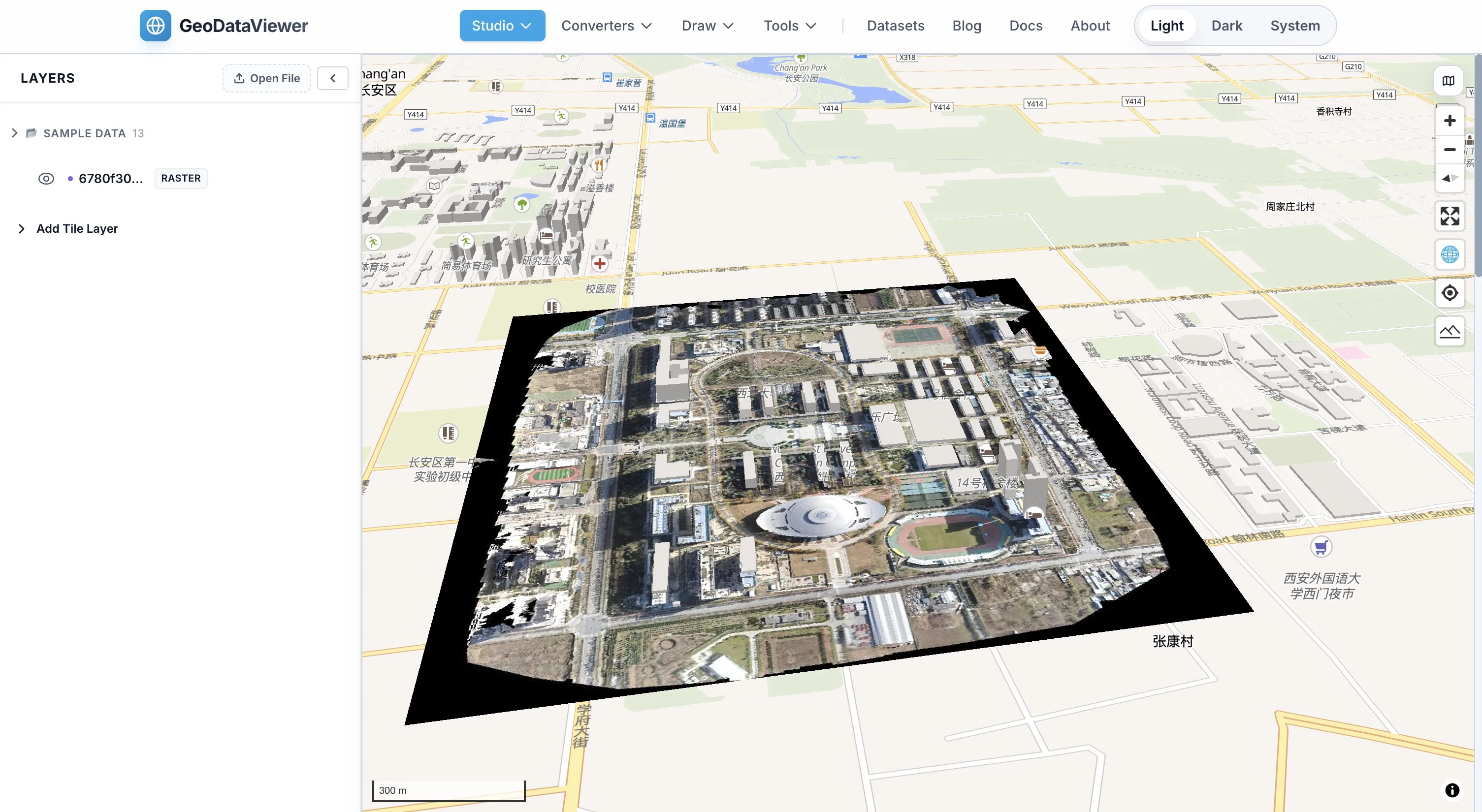
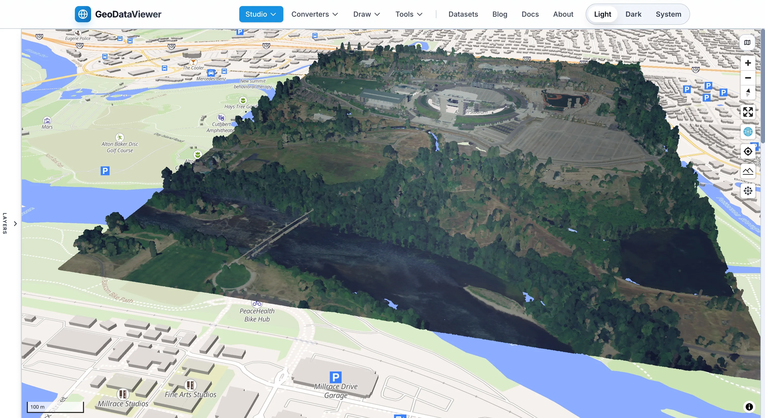
Open a file in StudioView GeoJSON and Shapefile datasets in your browser. Inspect geometry, browse attributes, and validate your data before sharing or publishing.
Review feature attributes, spot missing values, and confirm the data you are about to hand off is ready to use.
Inspect your dataConvert GIS data locally in your browser when a colleague, client, or downstream tool needs another format.
Convert GeoJSON to ShapefileOpen standards-based GML or portable GeoPackage data for a quick look before bringing it into your primary workflow.
Validate GeoJSON before using it in a web map, application, or API, so your development and data teams can move faster.
Validate GeoJSONView and convert GIS data in three simple steps — no installation, no upload, no account required.
Simply drag your Shapefile, GeoJSON, KML, GPX, DXF, or any supported file into the browser. GeoDataViewer automatically detects the format and prepares it for viewing.
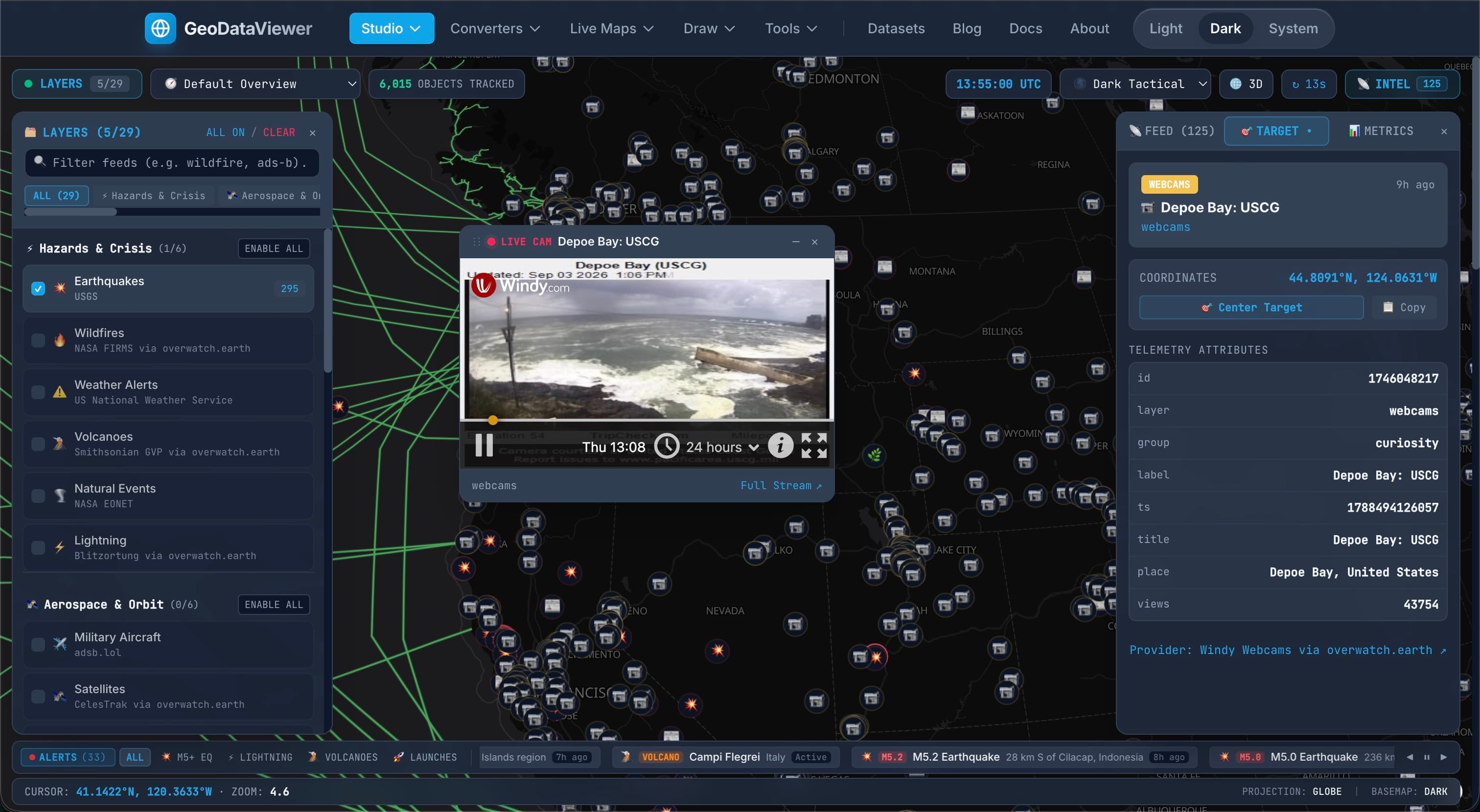
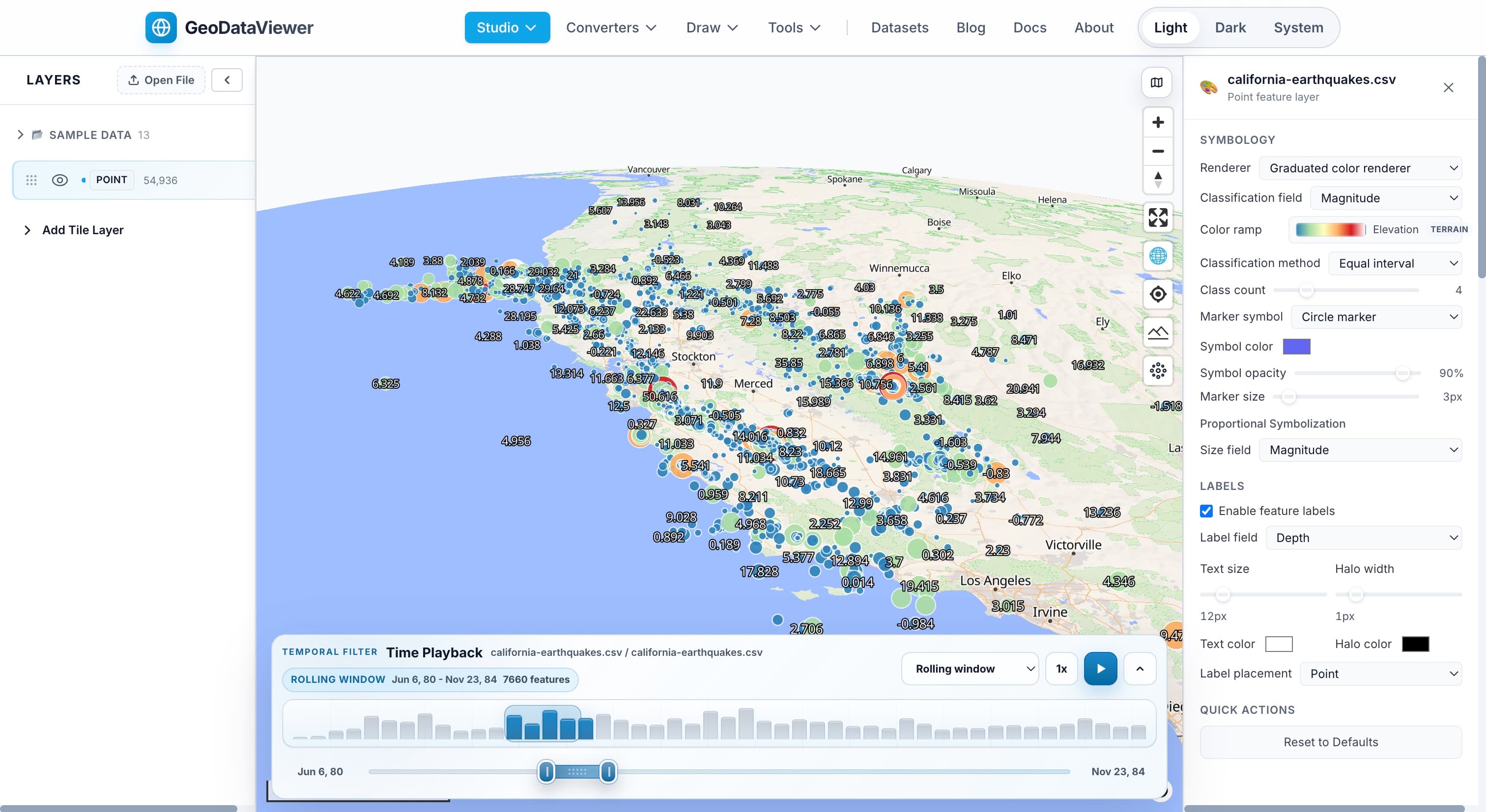
Your data renders instantly on an interactive map. Inspect attributes, filter features, change styles, and explore your dataset with professional-grade tools.
Need a different format? Convert to GeoJSON, KML, Shapefile, GeoPackage, DXF, and more — all processed locally in your browser with no server upload.
A quick-look tool designed for GIS professionals, data analysts, and developers who need to inspect spatial data fast.
Unlike most online GIS tools, GeoDataViewer processes everything in your browser using WebAssembly. Your sensitive data never leaves your device.
No need to download heavy desktop software like QGIS or ArcGIS. Works on any modern browser — Windows, Mac, or Linux.
From classic Shapefile and KML to modern GeoParquet and FlatGeobuf. One tool covers almost every geospatial format you will encounter.
GeoDataViewer is free to use with no registration, no credit card, and no usage limits. Just open the site and start working.
Yes. GeoDataViewer is completely free to use. There is no registration, no subscription, and no hidden fees. You can view and convert as many files as you want.
No. All processing happens locally in your browser using WebAssembly technology. Your files are never uploaded to any server, ensuring complete privacy.
GeoDataViewer supports 20+ formats including Shapefile, GeoJSON, KML, KMZ, GPX, DXF, DWG, GeoPackage, GeoParquet, FlatGeobuf, CSV, WKT, GML, and more.
Yes. GeoDataViewer supports bidirectional conversion between 19 format families with over 340 conversion paths, all powered by GDAL running locally in your browser.
No installation is required. GeoDataViewer runs entirely in your web browser. Just visit the website and start dragging files.
GeoDataViewer is designed as a quick-look tool, not a full desktop GIS replacement. It is perfect for inspecting, previewing, and converting files. For complex analysis and editing, QGIS and ArcGIS remain the industry standards.
Discover 200+ free and open-source geospatial tools — from desktop GIS and Python libraries to spatial databases, web maps, and routing engines.
16 categories · 200+ tools · updated regularly