Shapefile / GeoJSON
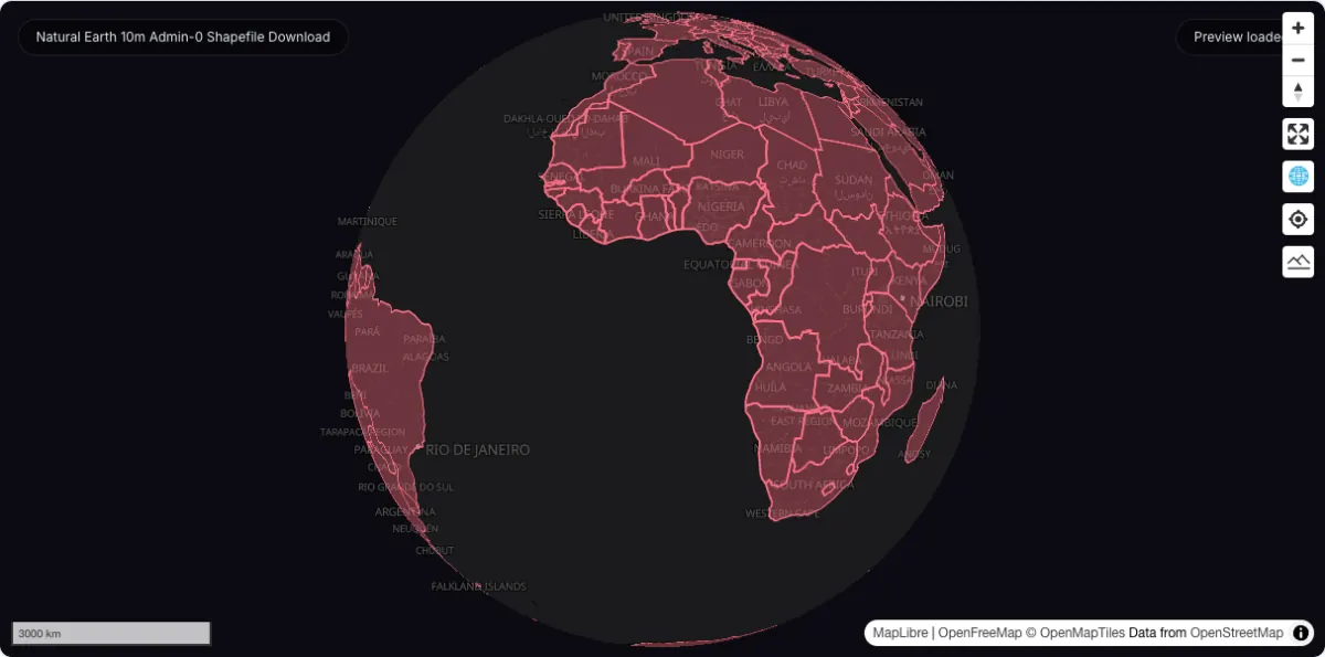
Natural Earth 10m Admin-0 Shapefile Download
Public-domain global country boundaries and related admin layers — with a hosted 110m GeoJSON you can map and summarise on this page.
Country boundary maps Reference basemaps
Boundary & admin data
Country, state, province, and county boundary datasets — including hosted US, Canada, UK, Australia, India, Germany, France, and Japan layers you can map and download as GeoJSON.
Quick answer: compare official sources, download formats, coverage, licensing, and practical GIS workflows in this Boundary & admin data directory.
Downloadable datasets in this category
20
Each dataset page captures official source links, access notes, and related GIS workflows.
Official sources and direct access
Mixed delivery
Find provider portals, available file downloads and instructions for accessing each source.
Spatial data guidance
Choose a source
Compare geographic coverage, file formats and reuse terms before choosing data for your map or analysis.
Boundary pages target practical search intent such as downloading country borders, states, provinces, counties, and multi-level administrative units.
Country-specific layers are hosted directly, so a US states or Canadian provinces file opens on a map in the browser and downloads in one click — no portal account, no shapefile sidecar files to reassemble.
Global sources such as Natural Earth, GADM, and geoBoundaries stay in the directory for world-scale basemaps and the levels the hosted set does not cover.
Hosted on GeoDataViewer
These 10 layers live on this site as GeoJSON, so each page renders the boundary on a map and downloads the same file in one click — no portal account and no shapefile sidecars. Together they are 5.96 MB.
United States
56 states & territories · 437 KB GeoJSON
Public Domain
United States
3,233 counties · 1.95 MB GeoJSON
Public Domain
Canada
13 provinces & territories · 1.33 MB GeoJSON
Open Government Canada 2.0
Canada
76 census divisions · 1.34 MB GeoJSON
Open Government Canada 2.0
United Kingdom
4 countries · 43 KB GeoJSON
Creative Commons Attribution 4.0 International (CC BY 4.0)
Australia
9 states & territories · 220 KB GeoJSON
Creative Commons Attribution 4.0 International (CC BY 4.0)
India
36 states & union territories · 333 KB GeoJSON
Creative Commons Attribution 2.5 India (CC BY 2.5 IN)
Germany
16 federal states · 85 KB GeoJSON
Data license Germany - Attribution - Version 2.0
France
13 regions · 91 KB GeoJSON
Etalab Open License 2.0
Japan
47 prefectures · 170 KB GeoJSON
Open Data Commons Open Database License 1.0
Downloadable datasets in this category
Open a dataset guide for source links, download steps and practical answers about working with the files.
Shapefile / GeoJSON
Public-domain global country boundaries and related admin layers — with a hosted 110m GeoJSON you can map and summarise on this page.
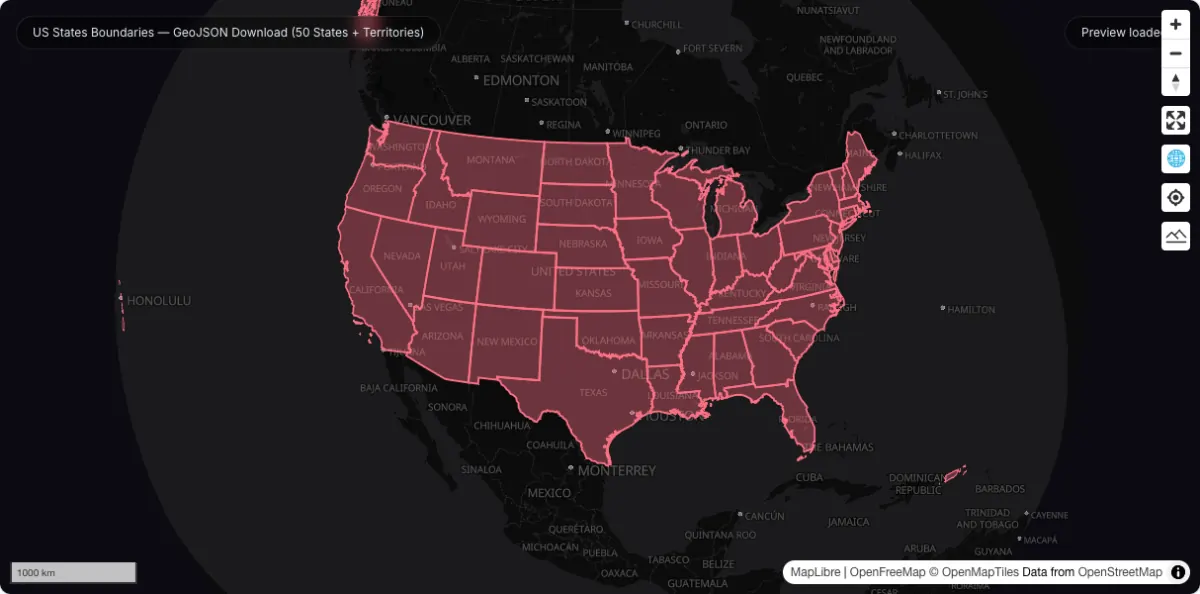
All 56 US states, territories, and the District of Columbia as one hosted GeoJSON — map it instantly, join your own data on shapeISO, or download it in one click.
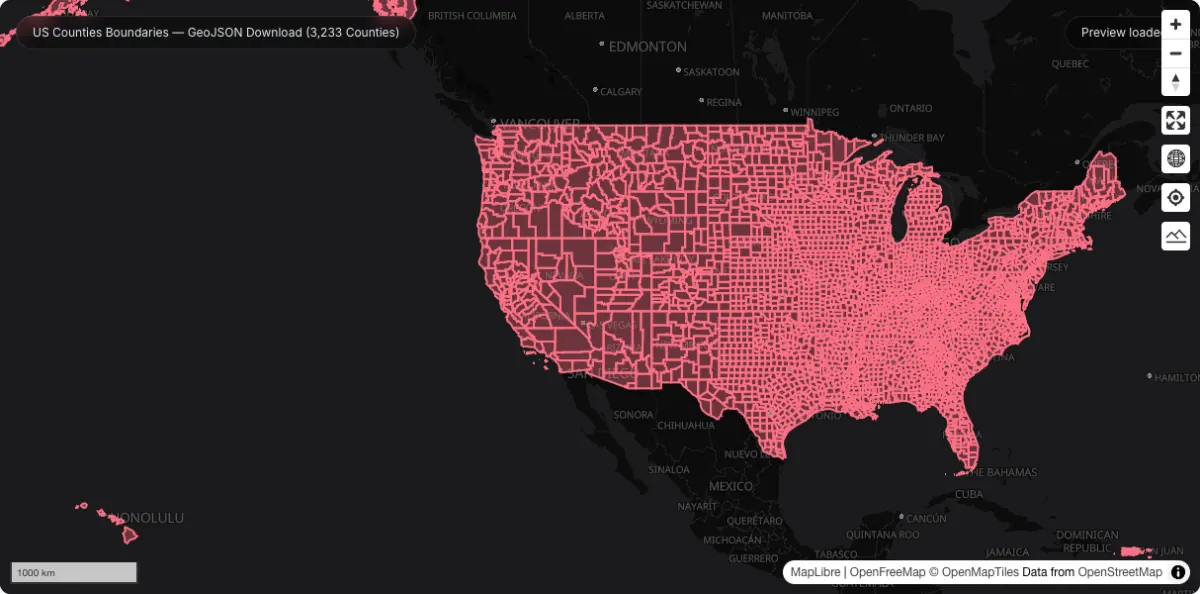
Every US county and county equivalent as one hosted GeoJSON — 3,233 units with FIPS-style identifiers, ready to join census, health, or election data and map in the browser.
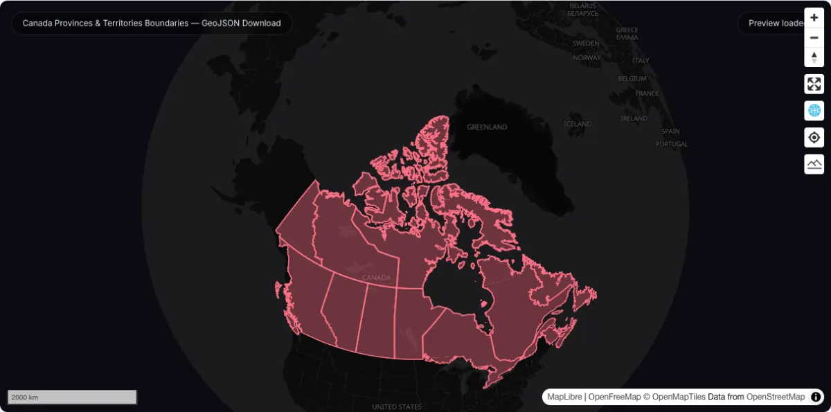
All 13 Canadian provinces and territories as one hosted GeoJSON, simplified from Statistics Canada's boundary file so the whole country fits in about 1.4 MB.
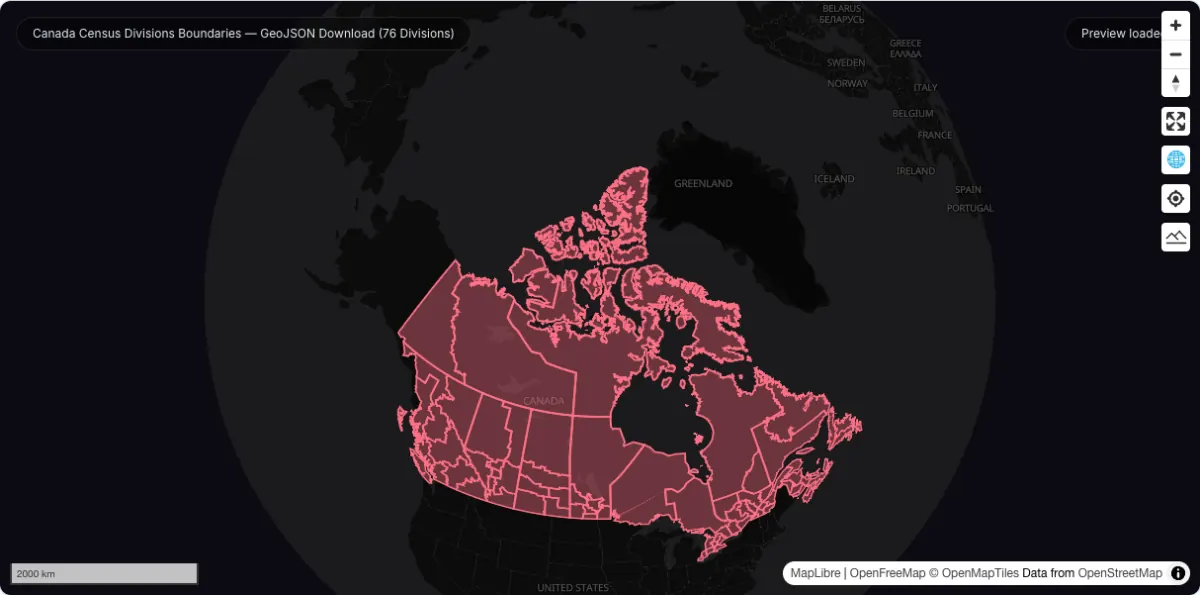
Canada's 76 census divisions as one hosted GeoJSON — the second-level administrative units between province and municipality, ready to join Statistics Canada tables.
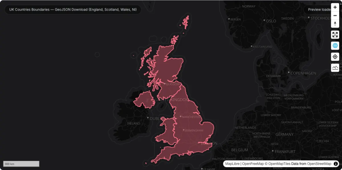
The four constituent countries of the United Kingdom as one small hosted GeoJSON — England, Scotland, Wales, and Northern Ireland, under 50 KB.
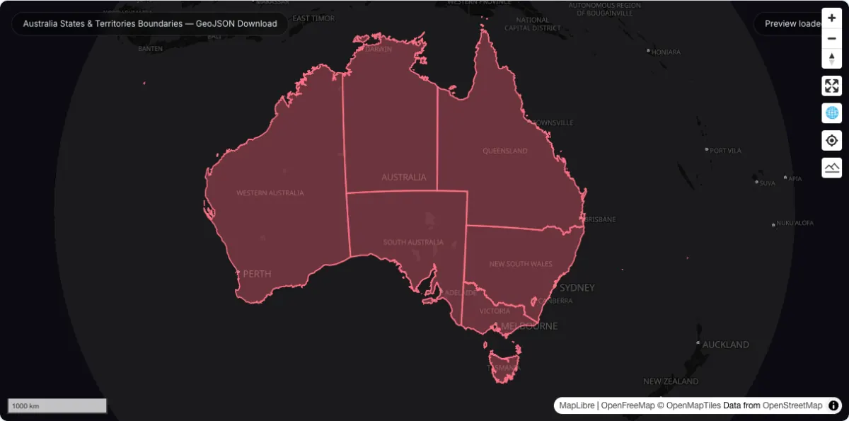
All 9 Australian states, territories, and external territories as one hosted GeoJSON, simplified from the ABS digital boundary files to a quarter of a megabyte.
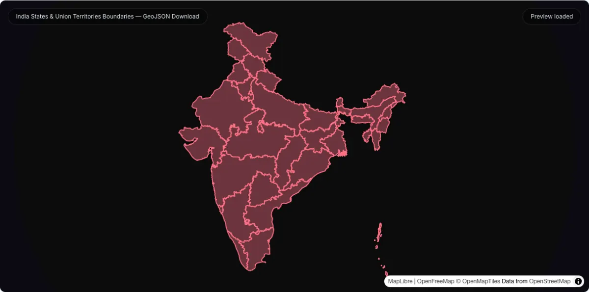
All 36 Indian states and union territories as one hosted GeoJSON, simplified from the DataMeet community boundary set to about 340 KB.
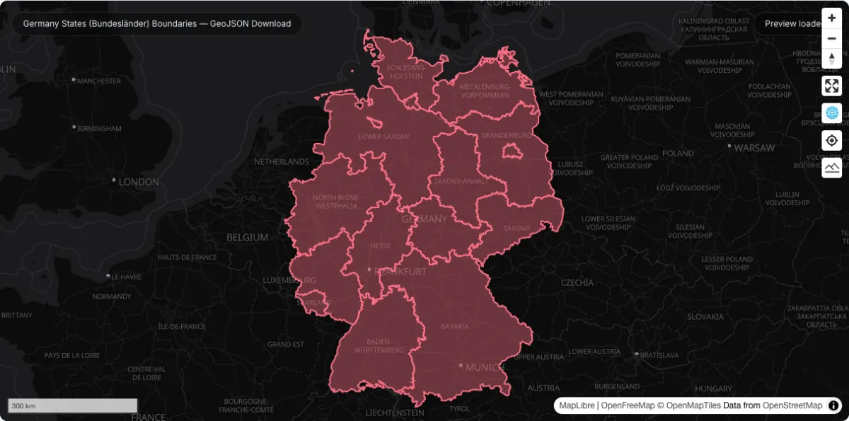
All 16 German federal states as one small hosted GeoJSON — under 100 KB, simplified from the Federal Agency for Cartography boundary data.
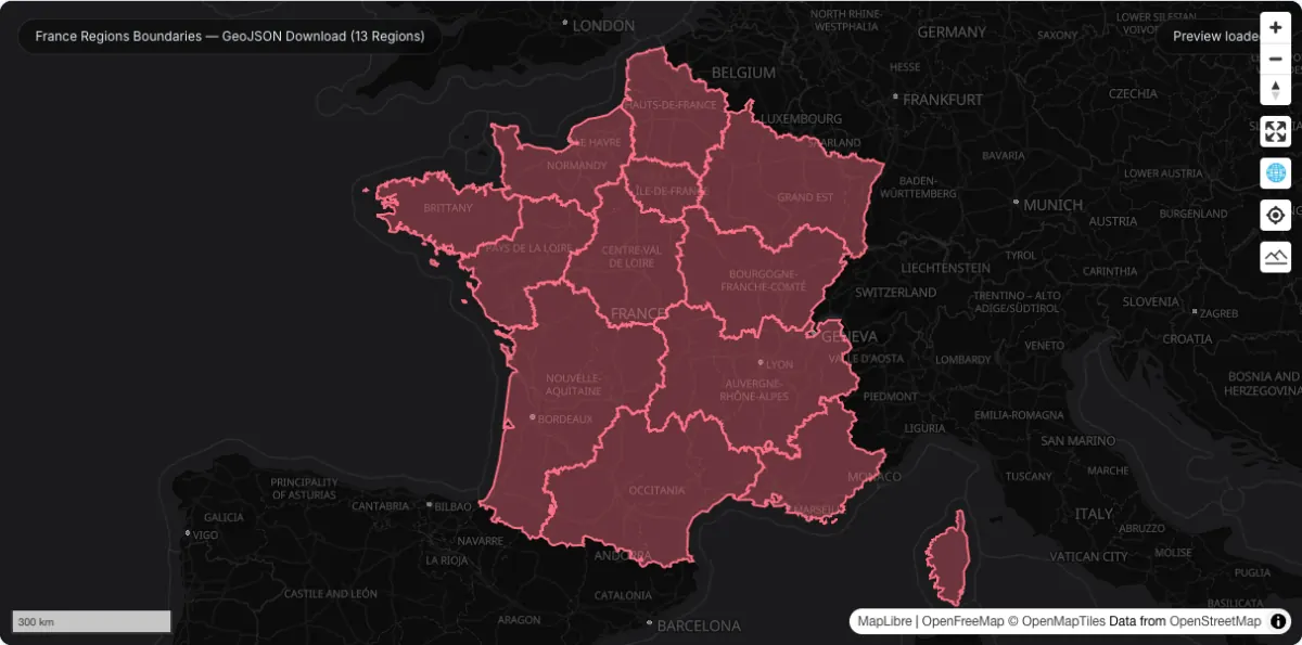
All 13 French metropolitan regions as one small hosted GeoJSON — under 100 KB, simplified from IGN ADMIN EXPRESS boundary data.
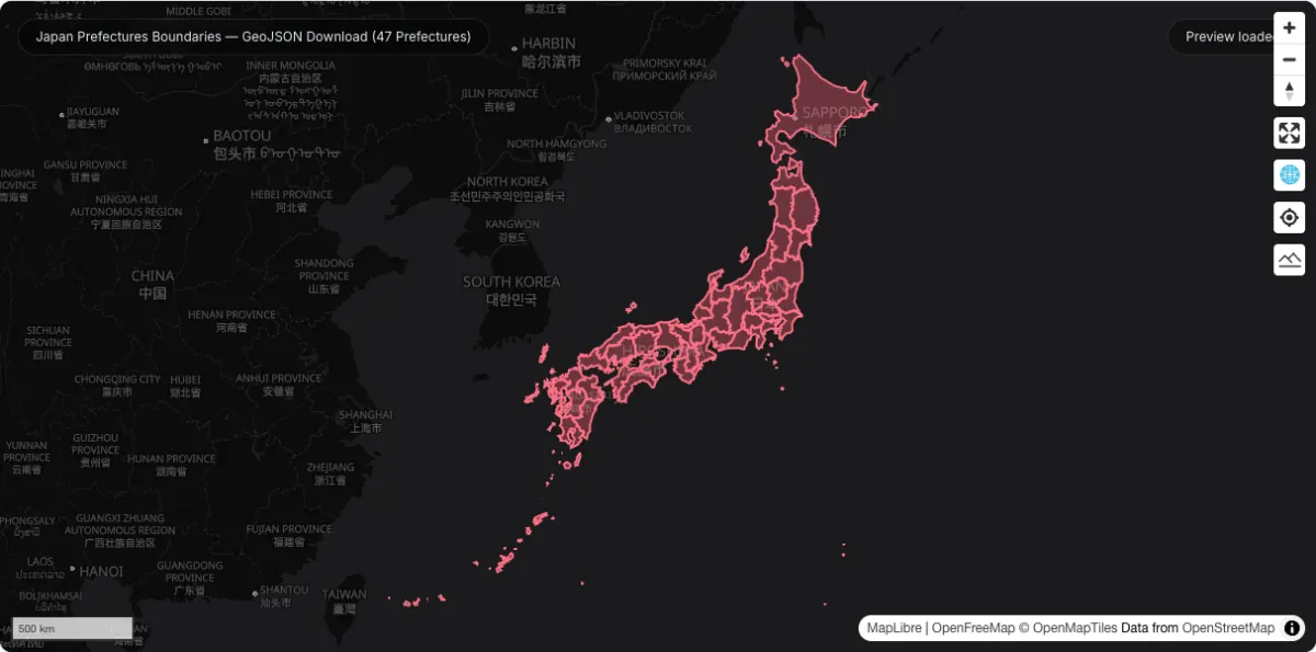
All 47 Japanese prefectures as one hosted GeoJSON, simplified from OpenStreetMap-derived boundaries to about 170 KB.
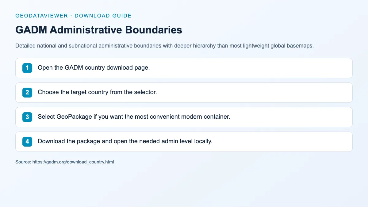
GeoPackage / Shapefile / GeoJSON
Detailed national and subnational administrative boundaries with deeper hierarchy than most lightweight global basemaps.
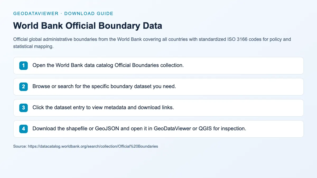
Shapefile / GeoJSON
Official global administrative boundaries from the World Bank covering all countries with standardized ISO 3166 codes for policy and statistical mapping.
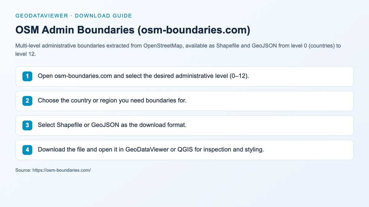
Shapefile / GeoJSON
Multi-level administrative boundaries extracted from OpenStreetMap, available as Shapefile and GeoJSON from level 0 (countries) to level 12.
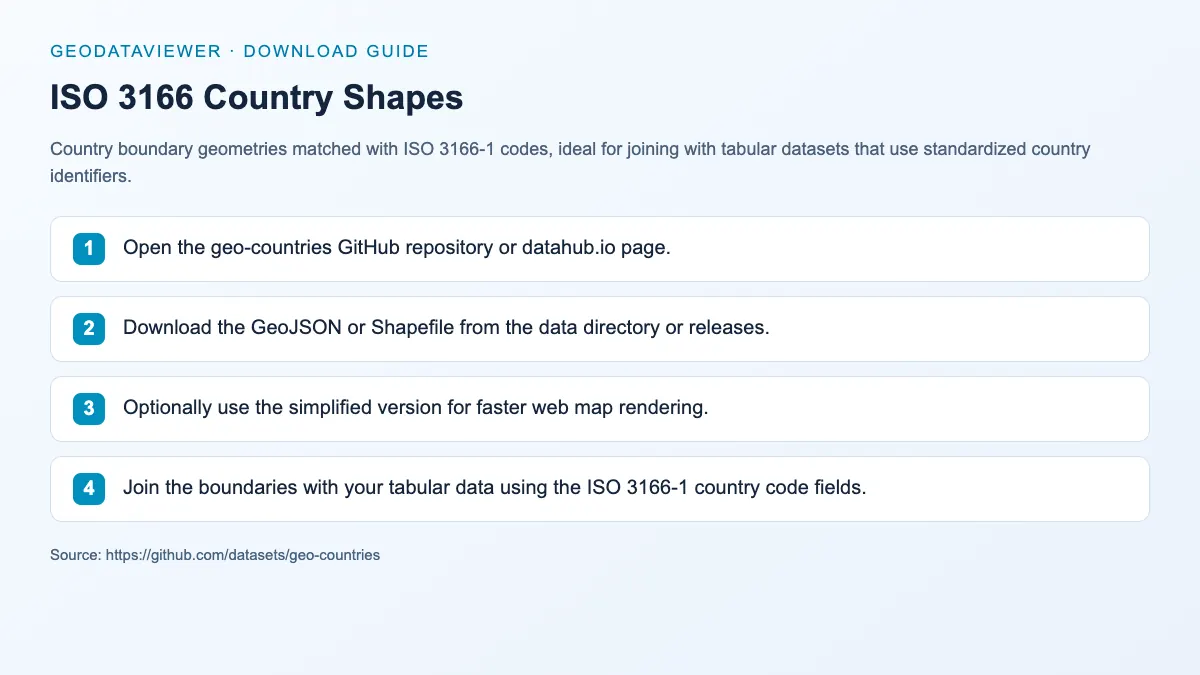
GeoJSON / Shapefile
Country boundary geometries matched with ISO 3166-1 codes, ideal for joining with tabular datasets that use standardized country identifiers.
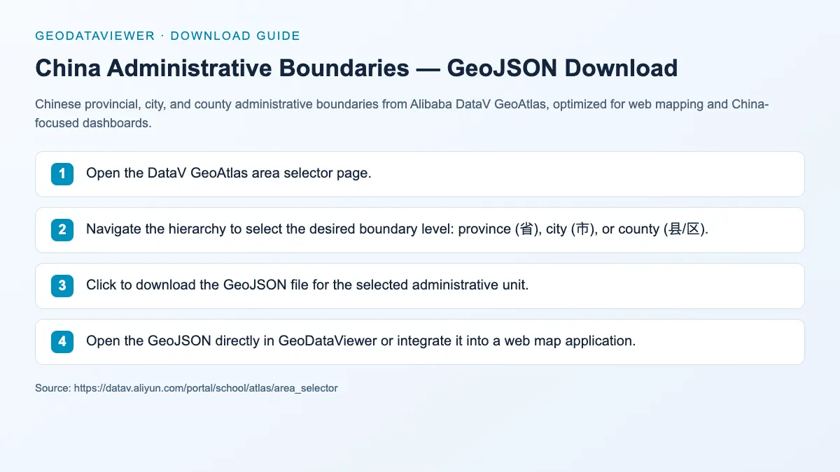
Chinese provincial, city, and county administrative boundaries from Alibaba DataV GeoAtlas, optimized for web mapping and China-focused dashboards.
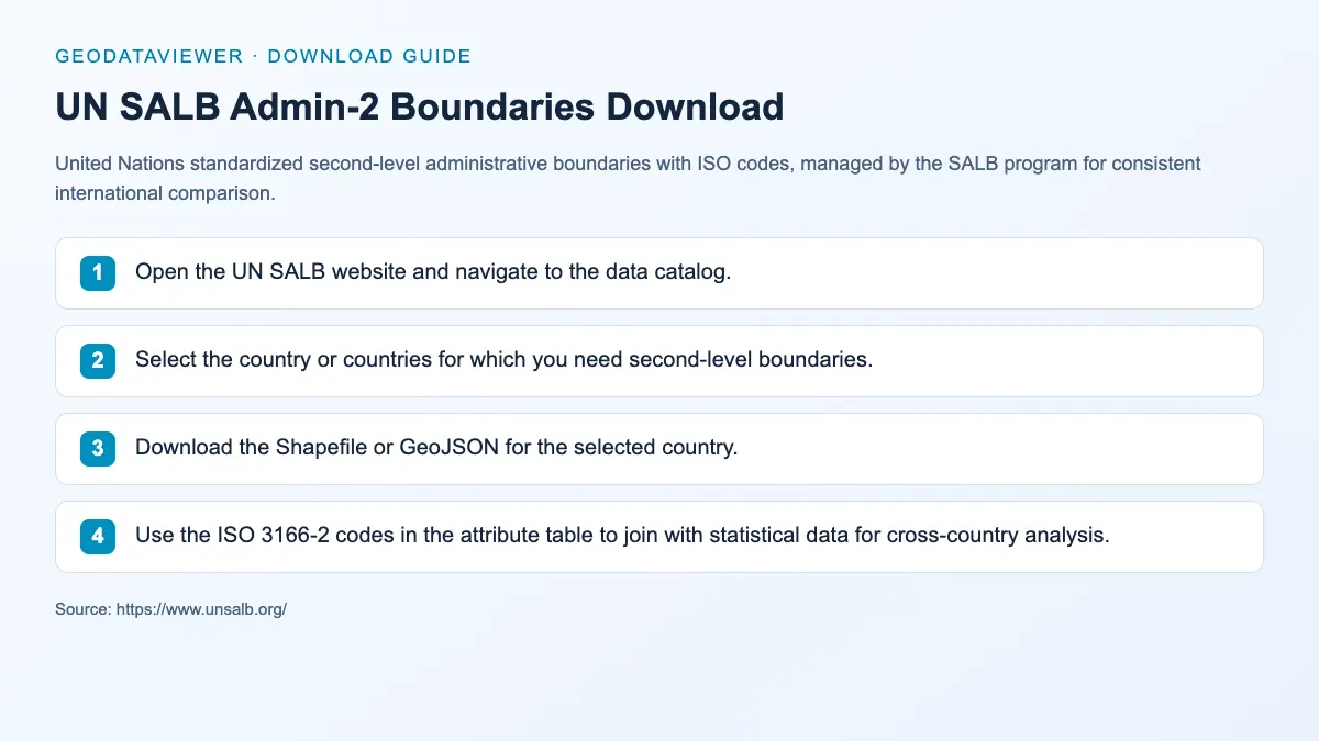
Shapefile / GeoJSON
United Nations standardized second-level administrative boundaries with ISO codes, managed by the SALB program for consistent international comparison.
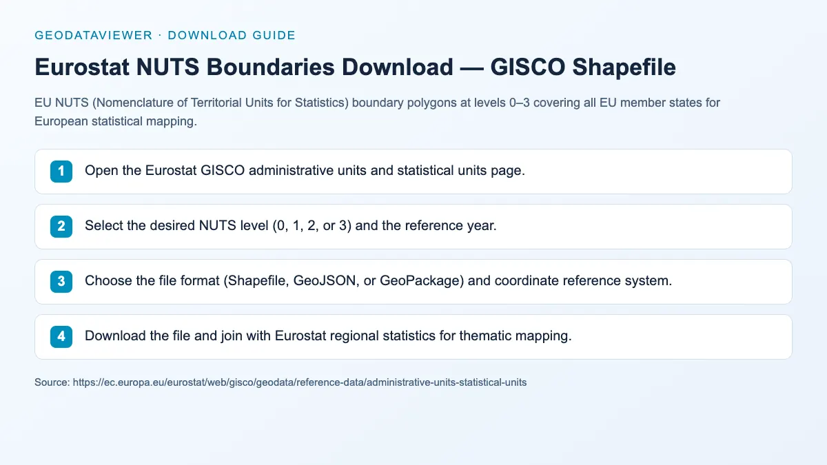
Shapefile / GeoJSON / GeoPackage
EU NUTS (Nomenclature of Territorial Units for Statistics) boundary polygons at levels 0–3 covering all EU member states for European statistical mapping.
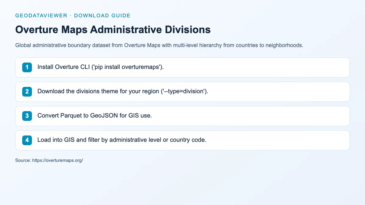
GeoJSON / Parquet
Global administrative boundary dataset from Overture Maps with multi-level hierarchy from countries to neighborhoods.
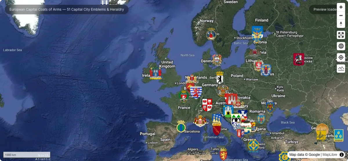
GeoJSON point dataset mapping 51 European capital cities with their official coats of arms, civic crests, Wikimedia SVG/PNG assets, and historical heraldry.
Recommended boundary workflow
Category FAQ
Natural Earth is usually the easiest because it is public domain, lightweight, and available without registration. For a single country at state, province, or county level, the hosted geoBoundaries layers on this page are faster because they preview and download as GeoJSON directly.
Use GADM when you need more detailed administrative hierarchies or national sub-units beyond the lighter Natural Earth products, and when its non-commercial licence terms suit your project.
No. Each hosted layer is simplified to about a 1 km tolerance with sub-4 km² islet fragments removed, which typically cuts the file by 90 % or more while keeping every administrative unit and every interior hole. Each page links the full-detail original for analysis that needs every vertex.
It depends on the publisher, not on GeoDataViewer. US Census TIGER boundaries are public domain, Statistics Canada data is under the Open Government Licence Canada 2.0, and most others are CC BY 4.0 — so attribution is required but commercial use is allowed. Each dataset page states the exact upstream licence.