GeoJSON / CSV
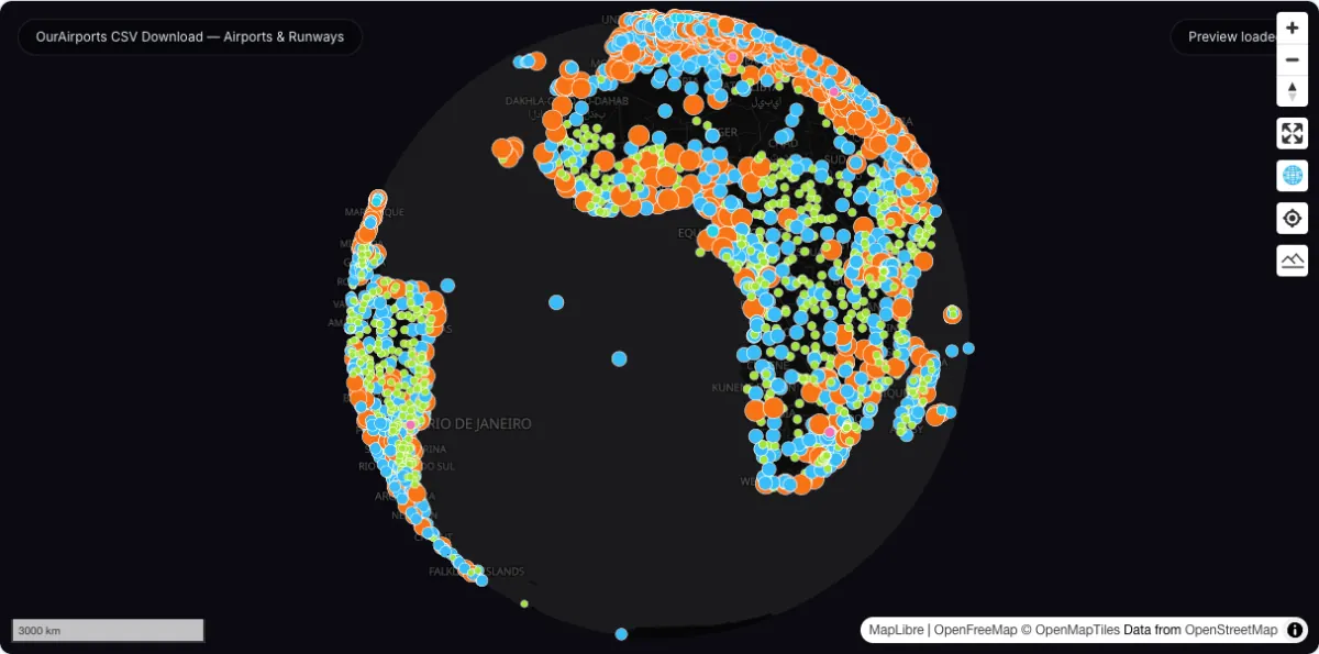
OurAirports CSV Download — Airports & Runways
Global airport and runway tables from OurAirports, plus a hosted 10,887-airport GeoJSON you can map and summarise instantly, rendered by airport type.
Airport maps Transport dashboards
Transportation
Airport, rail, road, and logistics datasets useful for map basemaps and transport analysis.
Quick answer: compare official sources, download formats, coverage, licensing, and practical GIS workflows in this Transportation directory.
Downloadable datasets in this category
11
Each dataset page captures official source links, access notes, and related GIS workflows.
Official sources and direct access
Mixed delivery
Find provider portals, available file downloads and instructions for accessing each source.
Spatial data guidance
Choose a source
Compare geographic coverage, file formats and reuse terms before choosing data for your map or analysis.
Transportation pages collect practical airport and corridor datasets that GIS users often combine with OSM and boundary layers.
The category favors sources that are light enough to explain clearly and broad enough to reuse across blog, SEO, and GEO surfaces.
Downloadable datasets in this category
Open a dataset guide for source links, download steps and practical answers about working with the files.
GeoJSON / CSV
Global airport and runway tables from OurAirports, plus a hosted 10,887-airport GeoJSON you can map and summarise instantly, rendered by airport type.
Shapefile
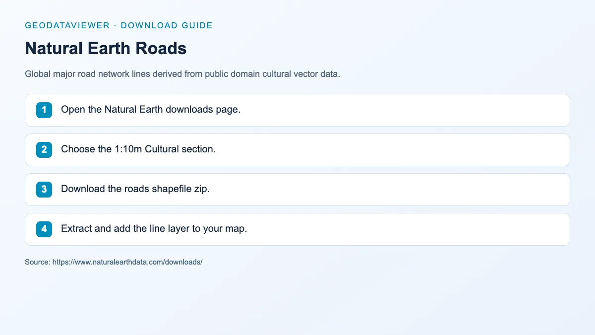
Global major road network lines derived from public domain cultural vector data.
Shapefile
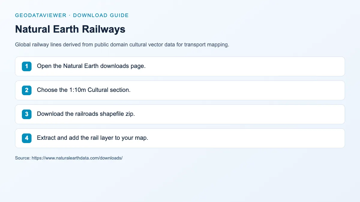
Global railway lines derived from public domain cultural vector data for transport mapping.
PBF / Shapefile
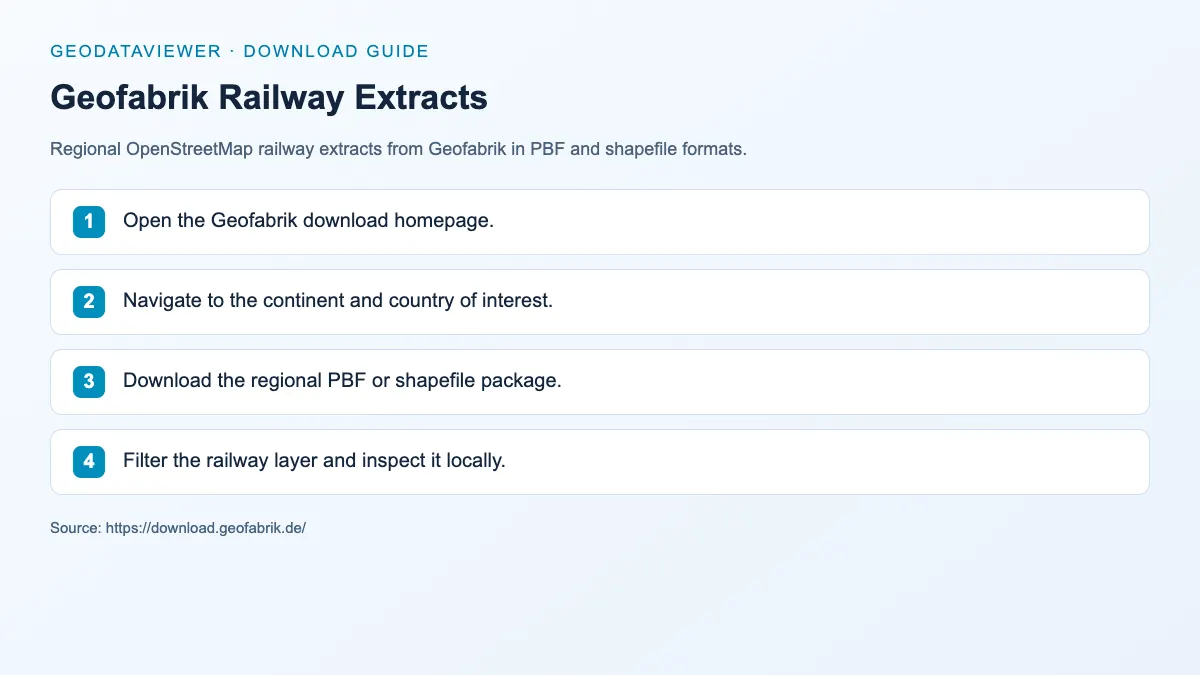
Regional OpenStreetMap railway extracts from Geofabrik in PBF and shapefile formats.
CSV / DAT
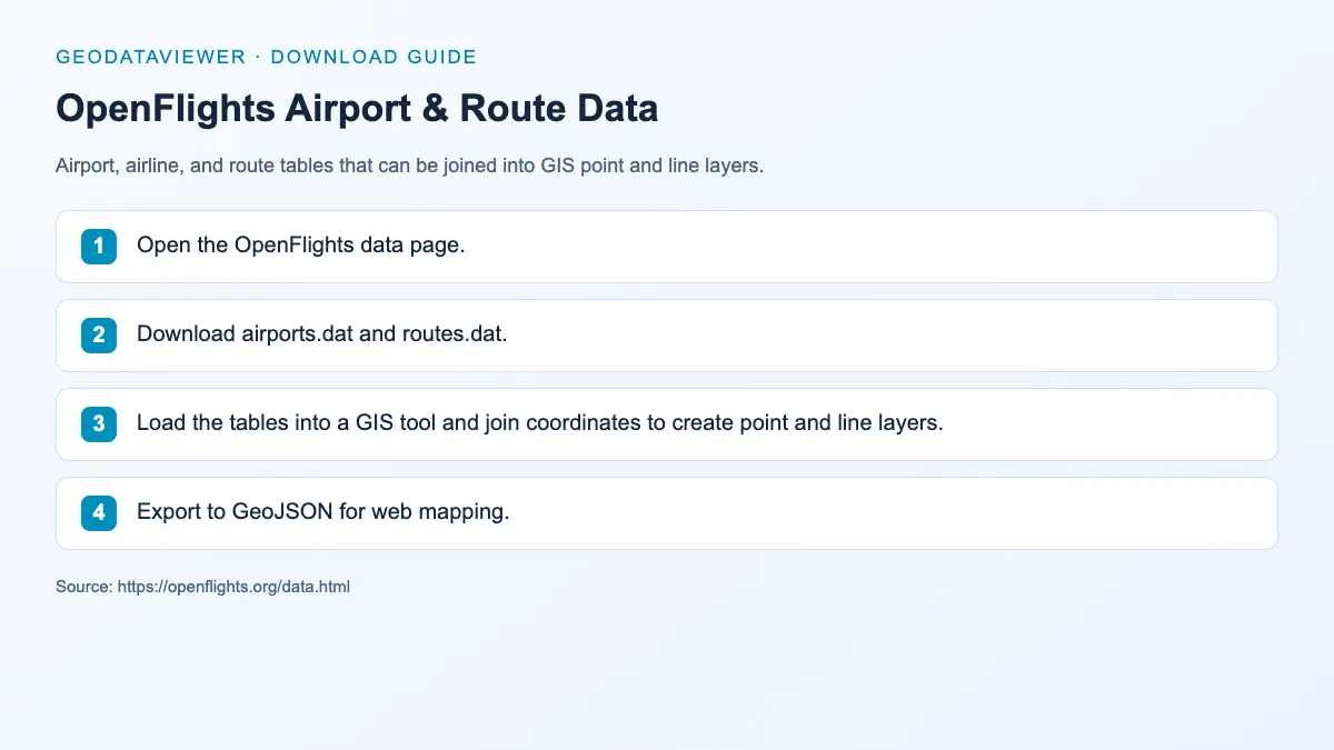
Airport, airline, and route tables that can be joined into GIS point and line layers.
GTFS / CSV
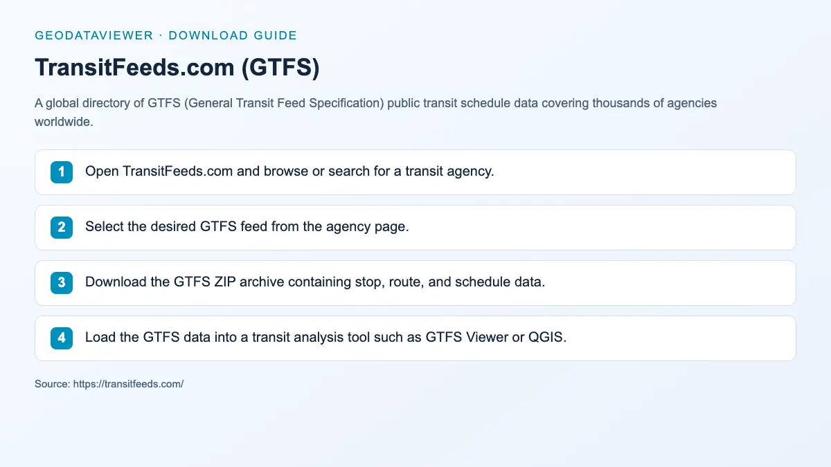
A global directory of GTFS (General Transit Feed Specification) public transit schedule data covering thousands of agencies worldwide.
Shapefile / PBF
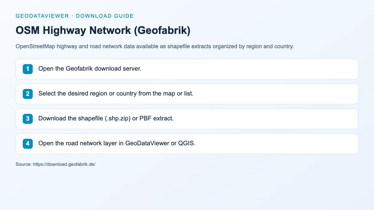
OpenStreetMap highway and road network data available as shapefile extracts organized by region and country.
OSRM / OSM PBF
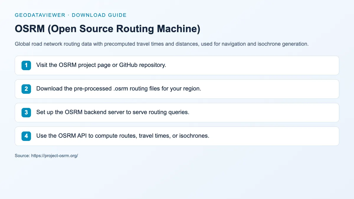
Global road network routing data with precomputed travel times and distances, used for navigation and isochrone generation.
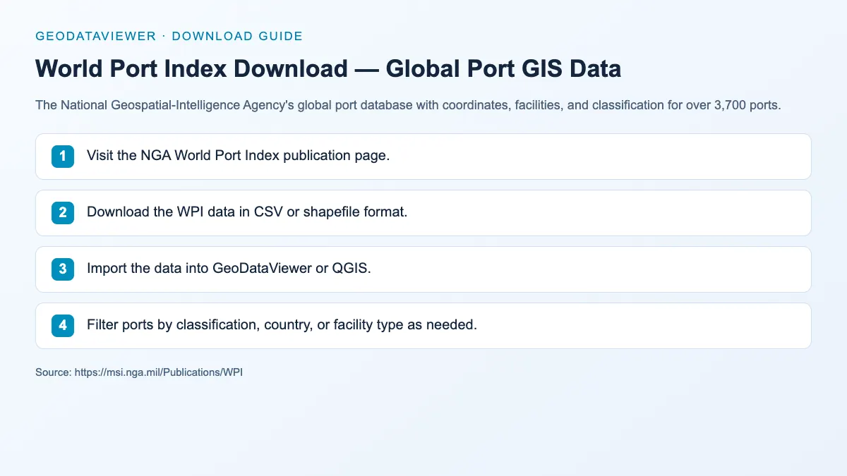
Shapefile / CSV
The National Geospatial-Intelligence Agency's global port database with coordinates, facilities, and classification for over 3,700 ports.

CSV / Shapefile
U.S. Federal Aviation Administration airport data including runways, traffic patterns, and facility information for all US airports.
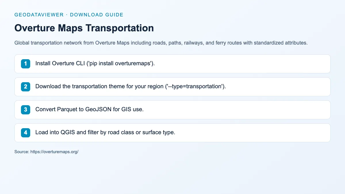
GeoJSON / Parquet
Global transportation network from Overture Maps including roads, paths, railways, and ferry routes with standardized attributes.
Recommended transportation workflow
Category FAQ
Airport CSV or GeoJSON point layers are usually the easiest because they are compact and easy to transform into browser-ready formats.
Yes. Transportation datasets are designed to cross-link with the OSM and boundaries sections for stronger topic coverage.