Natural Earth Roads
Quick answer: Natural Earth Roads provides a public-domain global road network that is lightweight and easy to import into QGIS or web mapping tools.
Next step
Already have the export?
Open a GeoJSON result in the browser to inspect its map and attributes before sharing or converting it again.
Format
Shapefile
Geometry
LineString
Coverage
Global
Resolution
1:10m to 1:110m
About this dataset
Global major road network lines derived from public domain cultural vector data.
Download Natural Earth roads for a lightweight global road network layer suitable for basemaps and transport visualization.
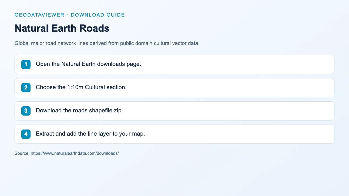
Download steps from this dataset’s GeoDataViewer guide. Follow the original provider for current files and access requirements.
How to download
- 1 Open the Natural Earth downloads page.
- 2 Choose the 1:10m Cultural section.
- 3 Download the roads shapefile zip.
- 4 Extract and add the line layer to your map.
FAQ
Does Natural Earth Roads include local streets?
No. It focuses on major roads and highways at a global scale rather than detailed local street networks.
Can I convert Natural Earth Roads to GeoJSON?
Yes. The shapefile can be exported to GeoJSON with QGIS, GDAL, or online converters for web use.
Why is there no in-browser preview on this page?
Natural Earth only publishes roads at 1:10m, and that layer runs to tens of megabytes — above the site's 10 MB hosting rule, so it stays a direct download. For a lightweight road preview use Geofabrik regional extracts or the OpenStreetMap layers in Studio.