Natural Earth Railways
Quick answer: Natural Earth Railways offers a public-domain global railway network layer that is easy to import and style for transport basemaps.
Next step
Already have the export?
Open a GeoJSON result in the browser to inspect its map and attributes before sharing or converting it again.
Format
Shapefile
Geometry
LineString
Coverage
Global
Resolution
1:10m to 1:50m
About this dataset
Global railway lines derived from public domain cultural vector data for transport mapping.
Download Natural Earth railways for a lightweight global rail network layer suitable for basemaps and transport analysis.
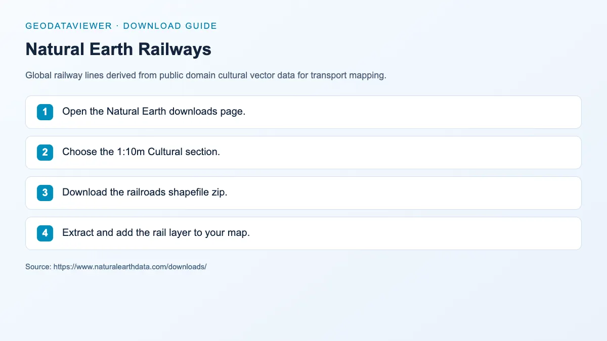
Download steps from this dataset’s GeoDataViewer guide. Follow the original provider for current files and access requirements.
How to download
- 1 Open the Natural Earth downloads page.
- 2 Choose the 1:10m Cultural section.
- 3 Download the railroads shapefile zip.
- 4 Extract and add the rail layer to your map.
FAQ
Does Natural Earth Railways include abandoned lines?
Some versions include disused lines; check the attribute table for status fields.
Can I combine railways with road layers?
Yes. Both are in the same coordinate system and can be styled together for a complete transport basemap.
Why is there no in-browser preview on this page?
Natural Earth only publishes railroads at 1:10m (tens of megabytes), which exceeds the site's 10 MB hosting rule. Download the shapefile here, or use Geofabrik regional rail extracts for smaller areas.