WorldClim v2.1
Quick answer: WorldClim v2.1 is a free global climate dataset at ~1km resolution providing temperature, precipitation, solar radiation, wind speed, and 19 bioclimatic variables — the standard input for ecological and species distribution modeling.
Next step
Already have the export?
Open a GeoJSON result in the browser to inspect its map and attributes before sharing or converting it again.
Format
GeoTIFF / ASCII
Geometry
Raster (climate grid)
Coverage
Global
Resolution
30 arc-seconds (~1km) to 10 arc-minutes
About this dataset
Global climate rasters at 30 arc-second resolution including temperature, precipitation, and 19 bioclimatic variables.
WorldClim v2.1 provides global climate surfaces for average monthly climate data at four spatial resolutions from 30 arc-seconds (~1km) to 10 arc-minutes (~340km). It includes minimum, mean, and maximum temperature, precipitation, and 19 bioclimatic variables derived from weather station records interpolated using thin-plate splines.
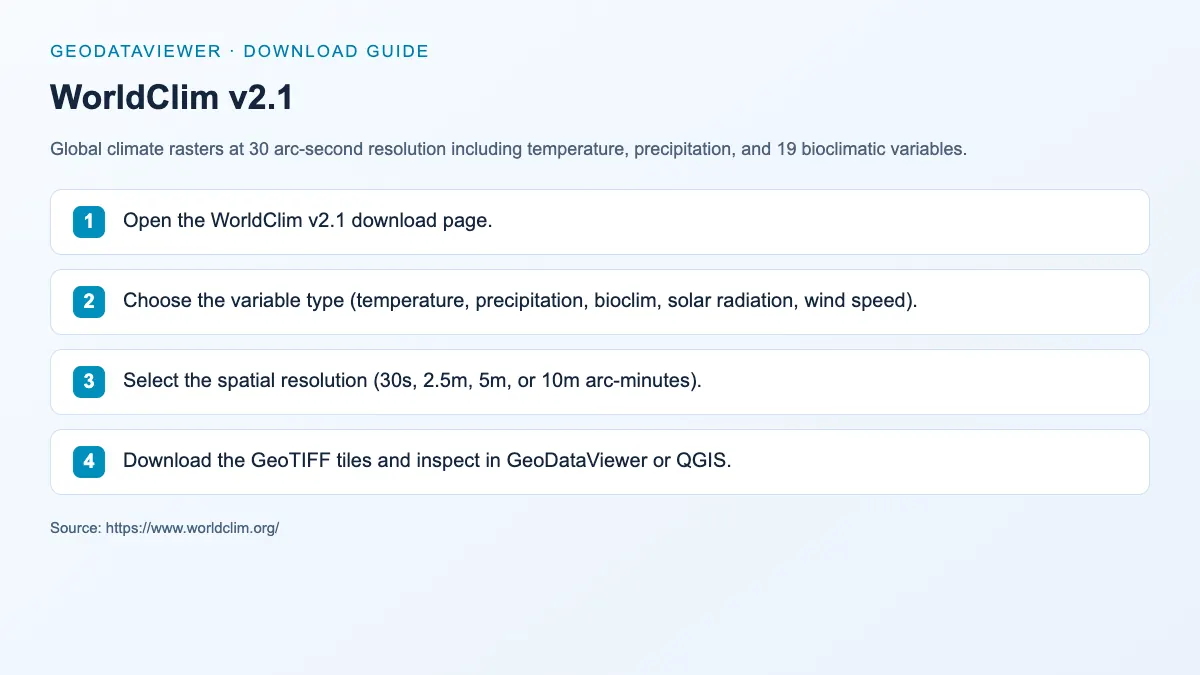
Download steps from this dataset’s GeoDataViewer guide. Follow the original provider for current files and access requirements.
How to download
- 1 Open the WorldClim v2.1 download page.
- 2 Choose the variable type (temperature, precipitation, bioclim, solar radiation, wind speed).
- 3 Select the spatial resolution (30s, 2.5m, 5m, or 10m arc-minutes).
- 4 Download the GeoTIFF tiles and inspect in GeoDataViewer or QGIS.
FAQ
What are the 19 bioclimatic variables in WorldClim?
The 19 bioclimatic variables (BIO1-BIO19) are derived from temperature and precipitation values, including annual mean temperature, max temperature of warmest month, min temperature of coldest month, annual precipitation, precipitation of wettest/driest quarter, and more.
What time period does WorldClim v2.1 represent?
WorldClim v2.1 represents average climate conditions for the 1970–2000 period, interpolated from weather station records.