SRTM 90m Tile Downloader
Quick answer: Use this page to identify and download NASA SRTM 90m tiles. The page helps you find the correct 1° x 1° tile name, and NASA Earthdata login is still required.
Next step
Already have the export?
Open a GeoJSON result in the browser to inspect its map and attributes before sharing or converting it again.
Interactive preview
Click a highlighted tile to generate the correct NASA Earthdata download URL.
Format
Zipped SRTMHGT
Geometry
1° x 1° tile coverage
Coverage
Global land coverage between 60°N and 56°S
Resolution
90 meters (3 arc-second, 1201 x 1201)
License
Public domain (US government data; Earthdata login is an access gate)
Registration
Free NASA Earthdata login required to download
About this dataset
Interactive download page for NASA SRTM 3-arcsecond elevation tiles with global reference coverage and Earthdata login guidance.
Download 90-meter Shuttle Radar Topography Mission tiles with a world reference map, tile filename guidance, and NASA Earthdata access instructions.
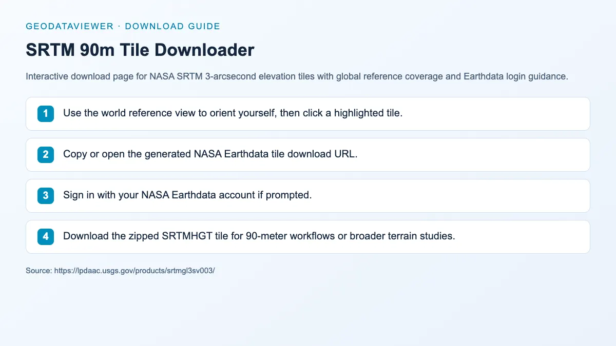
Download steps from this dataset’s GeoDataViewer guide. Follow the original provider for current files and access requirements.
How to download
- 1 Use the world reference view to orient yourself, then click a highlighted tile.
- 2 Copy or open the generated NASA Earthdata tile download URL.
- 3 Sign in with your NASA Earthdata account if prompted.
- 4 Download the zipped SRTMHGT tile for 90-meter workflows or broader terrain studies.
FAQ
What is the difference between SRTM 30m and SRTM 90m?
The 30m product is the 1-arcsecond version, while the 90m product is the 3-arcsecond subsampled version for lighter-weight workflows.
Do SRTM 90m downloads also require NASA Earthdata login?
Yes, for access — but the elevation data is public domain, so downloaded tiles can be reused commercially without restriction.