MODIS Snow Cover (MOD10A1)
Quick answer: MODIS Snow Cover provides daily global snow extent at 500m resolution from 2000-present using the NDSI method — the standard for snow cover monitoring.
About this dataset
Daily and 8-day global snow cover at 500m resolution from MODIS Terra and Aqua (2000-present).
MODIS Snow Cover (MOD10A1/MYD10A1) provides daily global snow cover observations at 500m resolution from the Terra (2000-present) and Aqua (2002-present) satellites. The Normalized Difference Snow Index (NDSI) method classifies each pixel as snow, no snow, cloud, or other. 8-day composite products reduce cloud cover interference.
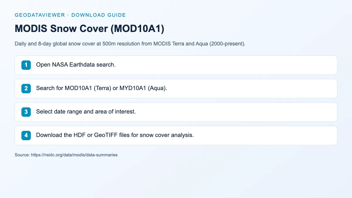
Download steps from this dataset’s GeoDataViewer guide. Follow the original provider for current files and access requirements.
How to download
- 1 Open NASA Earthdata search.
- 2 Search for MOD10A1 (Terra) or MYD10A1 (Aqua).
- 3 Select date range and area of interest.
- 4 Download the HDF or GeoTIFF files for snow cover analysis.
FAQ
What is the difference between MOD10A1 and MYD10A1?
MOD10A1 is from Terra (morning overpass ~10:30 AM), MYD10A1 is from Aqua (afternoon overpass ~1:30 PM). Using both can improve temporal coverage.
How does MODIS handle cloud cover?
MODIS provides a cloud mask with each snow product. The 8-day composite (MOD10A2) helps reduce cloud interference by selecting the best observation for each pixel.