Planet NICFI Tropical Forest Monitoring
Quick answer: Planet NICFI provides high-resolution satellite basemaps for tropical forest monitoring under the NICFI (Norway's International Climate and Forest Initiative) program.
Next step
Already have the export?
Open a GeoJSON result in the browser to inspect its map and attributes before sharing or converting it again.
Format
GeoTIFF / COG / Planet API
Geometry
Raster imagery
Coverage
Tropical forest regions
Resolution
4.7m
About this dataset
High-resolution satellite imagery for tropical forest monitoring under the NICFI program.
Access Planet NICFI satellite imagery for tropical forest monitoring with high-resolution basemaps under the NICFI Satellite Data Program.
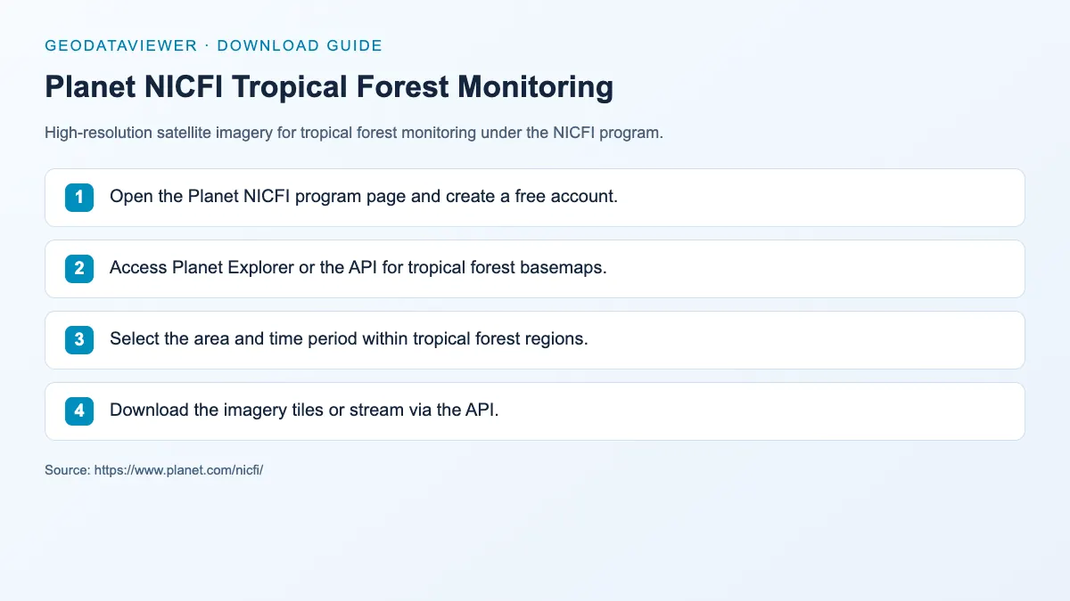
Download steps from this dataset’s GeoDataViewer guide. Follow the original provider for current files and access requirements.
How to download
- 1 Open the Planet NICFI program page and create a free account.
- 2 Access Planet Explorer or the API for tropical forest basemaps.
- 3 Select the area and time period within tropical forest regions.
- 4 Download the imagery tiles or stream via the API.
FAQ
What areas does Planet NICFI cover?
NICFI covers tropical forest regions in Latin America, Africa, and Asia-Pacific.
Is Planet NICFI free?
Yes. The NICFI Satellite Data Program provides free access to Planet basemaps for tropical forest monitoring.