Gridded Population of the World (GPWv4)
Quick answer: GPWv4 is CIESIN's global population grid at ~1km resolution, preserving the native resolution of census inputs and providing population data from 2000 to 2020 at five-year intervals.
Next step
Already have the export?
Open a GeoJSON result in the browser to inspect its map and attributes before sharing or converting it again.
Format
GeoTIFF / ASCII / NetCDF
Geometry
Raster (population grid)
Coverage
Global
Resolution
30 arc-seconds (~1km)
About this dataset
CIESIN's classic global population grid at 30 arc-second resolution with native census units preserved, covering 2000–2020.
GPWv4 from CIESIN (Center for International Earth Science Information Network) provides global population density and count grids at 30 arc-second (~1km) resolution. It preserves the native spatial resolution of input census data and offers multi-decadal coverage from 2000 to 2020 at five-year intervals.
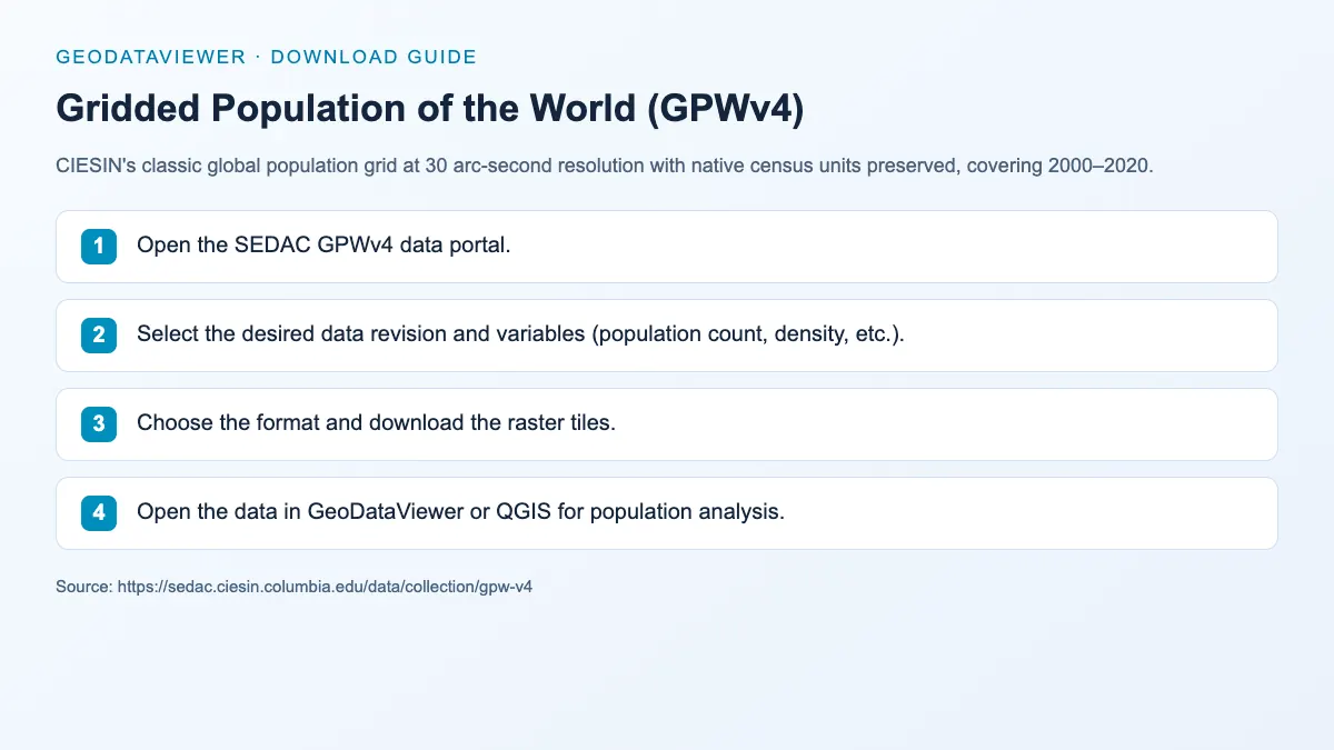
Download steps from this dataset’s GeoDataViewer guide. Follow the original provider for current files and access requirements.
How to download
- 1 Open the SEDAC GPWv4 data portal.
- 2 Select the desired data revision and variables (population count, density, etc.).
- 3 Choose the format and download the raster tiles.
- 4 Open the data in GeoDataViewer or QGIS for population analysis.
FAQ
How does GPWv4 differ from WorldPop?
GPWv4 preserves the native resolution of input census data within a consistent 30 arc-second grid, while WorldPop uses machine learning and satellite data to model population at higher ~100m resolution. GPWv4 is better for transparent census-to-grid methods; WorldPop for finer spatial detail.
What temporal coverage does GPWv4 provide?
GPWv4 provides population estimates at five-year intervals from 2000 to 2020 (2000, 2005, 2010, 2015, 2020).