NASA POWER Data Download — Daily CSV & API
Quick answer: To download NASA POWER data, choose a location, dates, and parameters in the official Data Access Viewer, or request a daily point time series from the API. CSV and JSON responses include metadata for units, missing values, and time standard.
Download NASA POWER daily data for a point
- 1.Choose a point, date range, and application community in the official Data Access Viewer, or adapt the API example below. Point requests return a time series for one location.
- 2.Select the parameter codes you need, choose CSV or JSON, and specify the time standard. UTC and local solar time are different from the civil time zone at the location.
- 3.Read the response units and missing-value marker before analysis. Keep the location, dates, parameter definitions, and source metadata with the data; grid estimates are not on-site measurements.
NASA POWER API example: temperature and solar radiation CSV
Download seven daily records for −0.13 longitude, 51.50 latitude, from 1–7 January 2024. Change longitude, latitude, and the YYYYMMDD dates for your own point. The example explicitly uses UTC.
https://power.larc.nasa.gov/api/temporal/daily/point?parameters=T2M,ALLSKY_SFC_SW_DWN&community=RE&longitude=-0.13&latitude=51.5&start=20240101&end=20240107&format=CSV&time-standard=UTC| Code | Meaning | Response units |
|---|---|---|
| T2M | Temperature at 2 metres | °C |
| ALLSKY_SFC_SW_DWN | All-sky surface shortwave downward irradiance | kWh/m²/day |
The response identifies missing data with a fill value (−999 in this example). Treat it as missing, not as a temperature or radiation measurement. The CSV includes a metadata header before the daily table; preserve it, and import the table from its column-header row. A point time series does not contain a new map location for every day, and POWER JSON is not a GeoJSON feature layer.
Next step
Already have the export?
Open a GeoJSON result in the browser to inspect its map and attributes before sharing or converting it again.
Format
CSV / JSON / NetCDF / API
Geometry
Point time series / regional grid
Coverage
Global
Resolution
Parameter-dependent; meteorology source grid 0.5° × 0.625°
About this dataset
Global solar and meteorological data for energy, agriculture, and building applications. Download a point time series or regional data; resolution and coverage depend on the parameter and source.
NASA POWER (Prediction Of Worldwide Energy Resources) provides solar and meteorological parameters through a Data Access Viewer and API. Choose a location, dates, application community, and variables such as temperature, solar radiation, precipitation, humidity, or wind. Meteorological source data use a 0.5° latitude by 0.625° longitude grid; other parameters can have different source resolution and availability. Preserve the response metadata, units, and time standard when using the data.
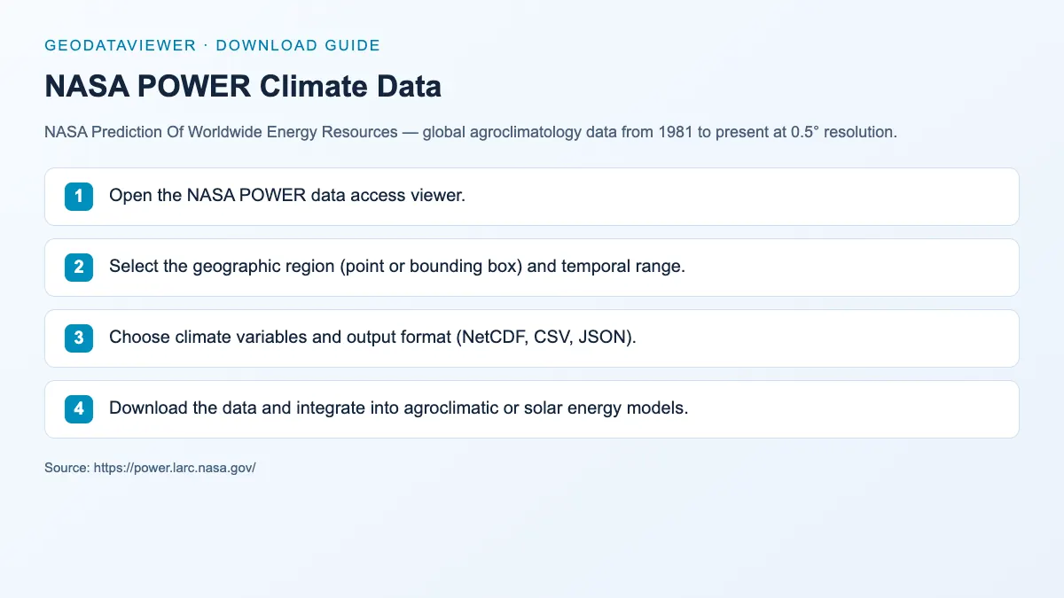
Download steps from this dataset’s GeoDataViewer guide. Follow the original provider for current files and access requirements.
How to download
- 1 Open the NASA POWER data access viewer.
- 2 Select a point or supported region, the application community, and the temporal range.
- 3 Choose parameter codes and output format (CSV, JSON, or NetCDF where available). Check UTC or local solar time for the daily request.
- 4 Download the response, read the units and fill-value metadata, and import the data table for analysis. POWER JSON is not a GeoJSON map layer.
POWER data access viewer
Interactive data selection and download
POWER API
Programmatic access to variables
POWER daily API documentation
Point and regional requests, formats, and UTC versus local solar time
POWER meteorological data methodology
Source grid resolution, coverage, and interpretation
FAQ
What makes NASA POWER different from ERA5?
POWER offers application-oriented solar and meteorological parameters through a point API and web viewer. Its meteorological inputs use MERRA-2, while ERA5 is a different reanalysis product. Compare the source, variable definition, spatial and temporal resolution, and validation for your intended use rather than assuming the products are interchangeable.
Is NASA POWER suitable for solar energy assessment?
Yes. NASA POWER's all-sky surface solar radiation data is specifically designed for solar energy applications including PV system design, site feasibility studies, and solar resource assessment.
How do I download NASA POWER daily data as CSV?
Use the Data Access Viewer or the daily point API. Supply parameter codes, community, longitude, latitude, start and end dates in YYYYMMDD format, and format=CSV. Specify time-standard=UTC or LST, then preserve the metadata header and read the daily table from its column-header row.
Can I open POWER JSON directly as GeoJSON?
No. POWER JSON stores parameter time series and metadata, not a GeoJSON FeatureCollection for each day. Analyse the time series first; create a separate spatial feature layer with coordinates and chosen values if you need to map results.