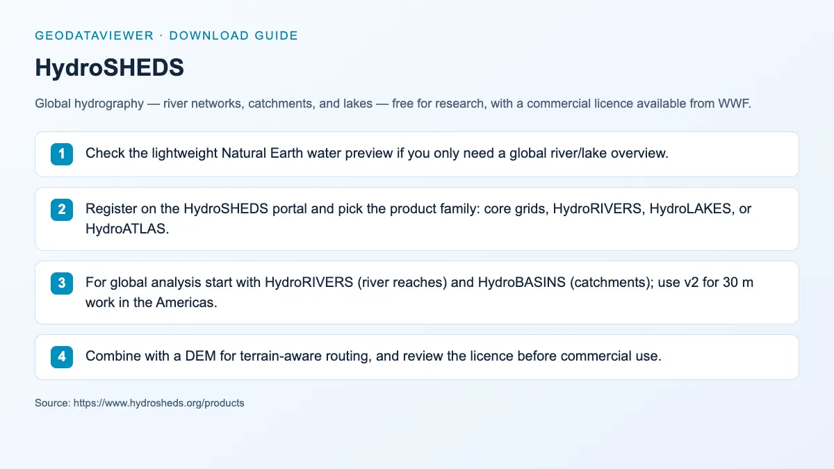
Shapefile / GeoTIFF
HydroSHEDS
Global hydrography — river networks, catchments, and lakes — free for research, with a commercial licence available from WWF.
River network maps Basin analysis
Hydrology
Hydrology, rivers, basin, and coastline datasets for water and environmental mapping.
Quick answer: compare official sources, download formats, coverage, licensing, and practical GIS workflows in this Hydrology directory.
Downloadable datasets in this category
9
Each dataset page captures official source links, access notes, and related GIS workflows.
Official sources and direct access
Mixed delivery
Find provider portals, available file downloads and instructions for accessing each source.
Spatial data guidance
Choose a source
Compare geographic coverage, file formats and reuse terms before choosing data for your map or analysis.
Hydrology pages concentrate on reusable global water layers with clear downstream analysis value.
These sources work well in comparison blocks because users often need rivers, basins, or coastlines together with DEM data.
Downloadable datasets in this category
Open a dataset guide for source links, download steps and practical answers about working with the files.
Shapefile / GeoTIFF
Global hydrography — river networks, catchments, and lakes — free for research, with a commercial licence available from WWF.
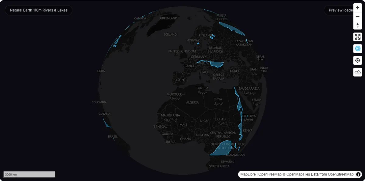
GeoJSON / Shapefile
Public-domain global rivers and lakes at 1:110m — a hosted ~42 KB GeoJSON with an instant map preview and feature-class summary.
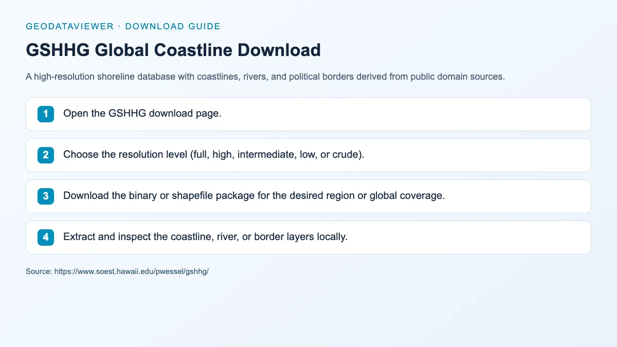
Shapefile / NetCDF / WKT
A high-resolution shoreline database with coastlines, rivers, and political borders derived from public domain sources.
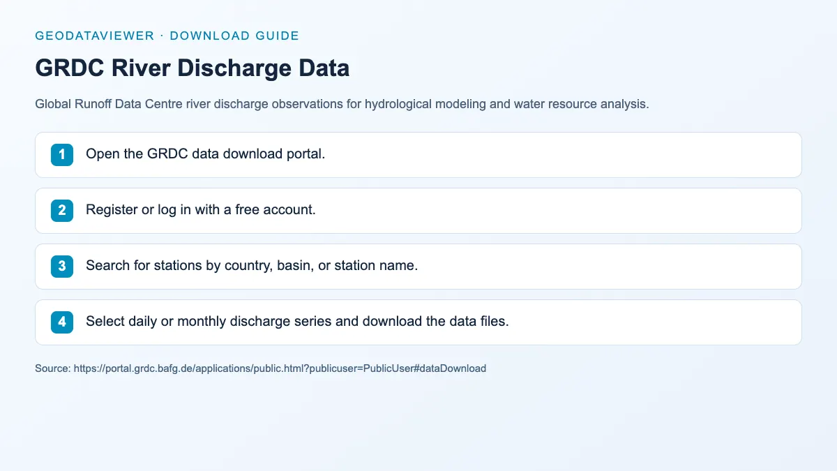
TXT / CSV
Global Runoff Data Centre river discharge observations for hydrological modeling and water resource analysis.
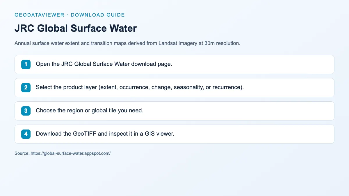
GeoTIFF
Annual surface water extent and transition maps derived from Landsat imagery at 30m resolution.
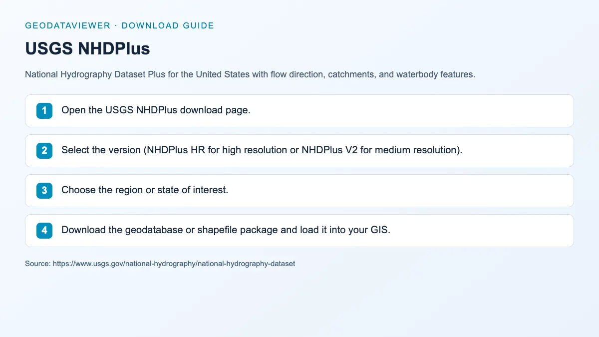
Shapefile / File GDB
National Hydrography Dataset Plus for the United States with flow direction, catchments, and waterbody features.
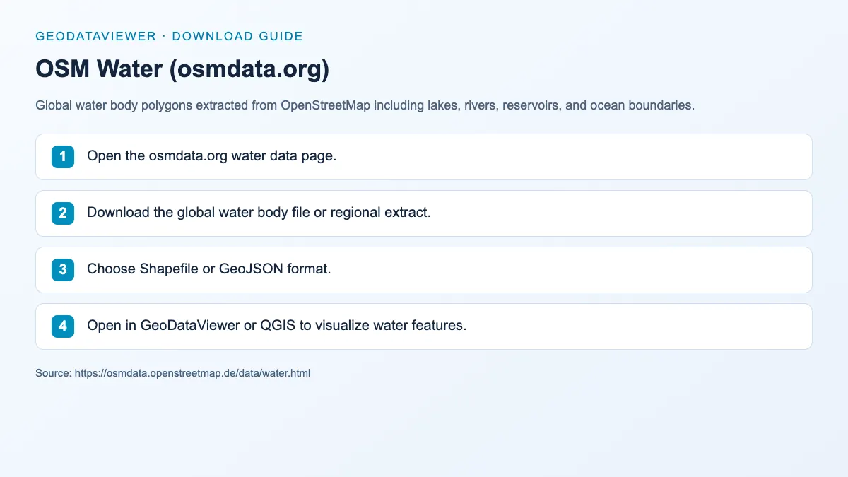
Shapefile / GeoJSON
Global water body polygons extracted from OpenStreetMap including lakes, rivers, reservoirs, and ocean boundaries.
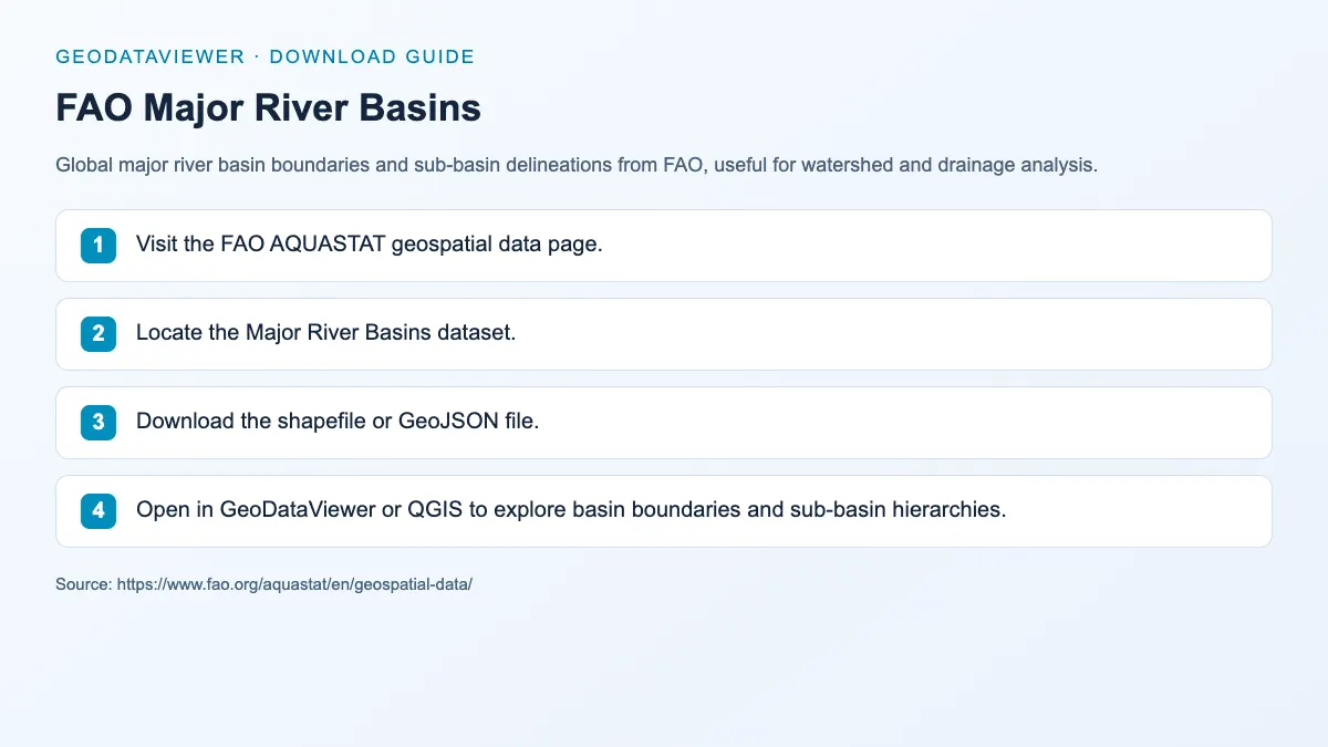
Shapefile / GeoJSON
Global major river basin boundaries and sub-basin delineations from FAO, useful for watershed and drainage analysis.
GeoTIFF / Shapefile / KMZ
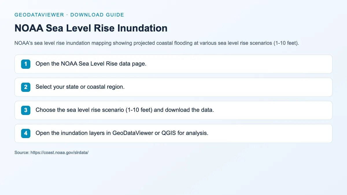
NOAA's sea level rise inundation mapping showing projected coastal flooding at various sea level rise scenarios (1-10 feet).
Recommended hydrology workflow
Category FAQ
HydroSHEDS is a common starting point because it provides global hydrology layers that are widely cited in GIS analysis.
Yes. The directory is structured so hydrology, DEM, and boundaries can cross-link into a clear analysis workflow.