JRC Global Surface Water
Quick answer: The JRC Global Surface Water dataset maps how surface water extent changes over time using Landsat imagery at 30m resolution.
Next step
Already have the export?
Open a GeoJSON result in the browser to inspect its map and attributes before sharing or converting it again.
Format
GeoTIFF
Geometry
Raster classification
Coverage
Global
Resolution
30m
About this dataset
Annual surface water extent and transition maps derived from Landsat imagery at 30m resolution.
Download the JRC Global Surface Water dataset for surface water extent, seasonality, and change detection workflows in GIS.
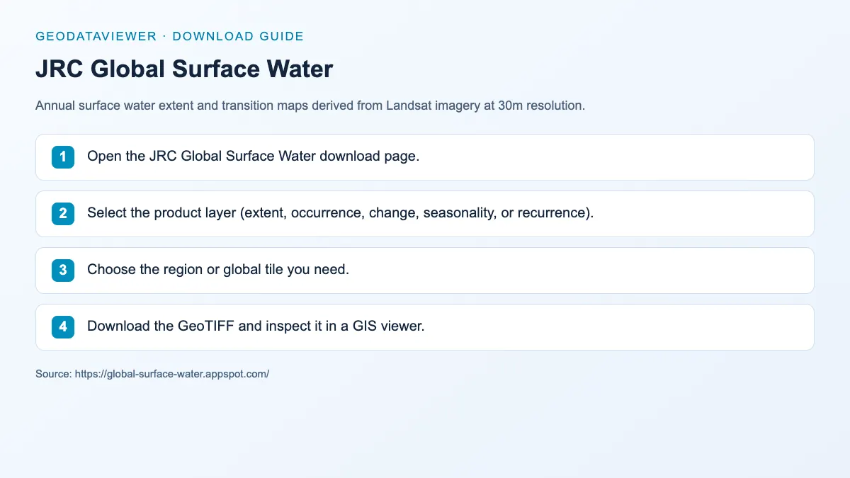
Download steps from this dataset’s GeoDataViewer guide. Follow the original provider for current files and access requirements.
How to download
- 1 Open the JRC Global Surface Water download page.
- 2 Select the product layer (extent, occurrence, change, seasonality, or recurrence).
- 3 Choose the region or global tile you need.
- 4 Download the GeoTIFF and inspect it in a GIS viewer.
FAQ
What products are in the JRC Global Surface Water dataset?
It includes extent, occurrence, change, seasonality, and recurrence layers to describe surface water dynamics.
What imagery source does JRC use?
The dataset is derived from Landsat imagery, providing consistent 30m resolution globally.