JSON (TLE)
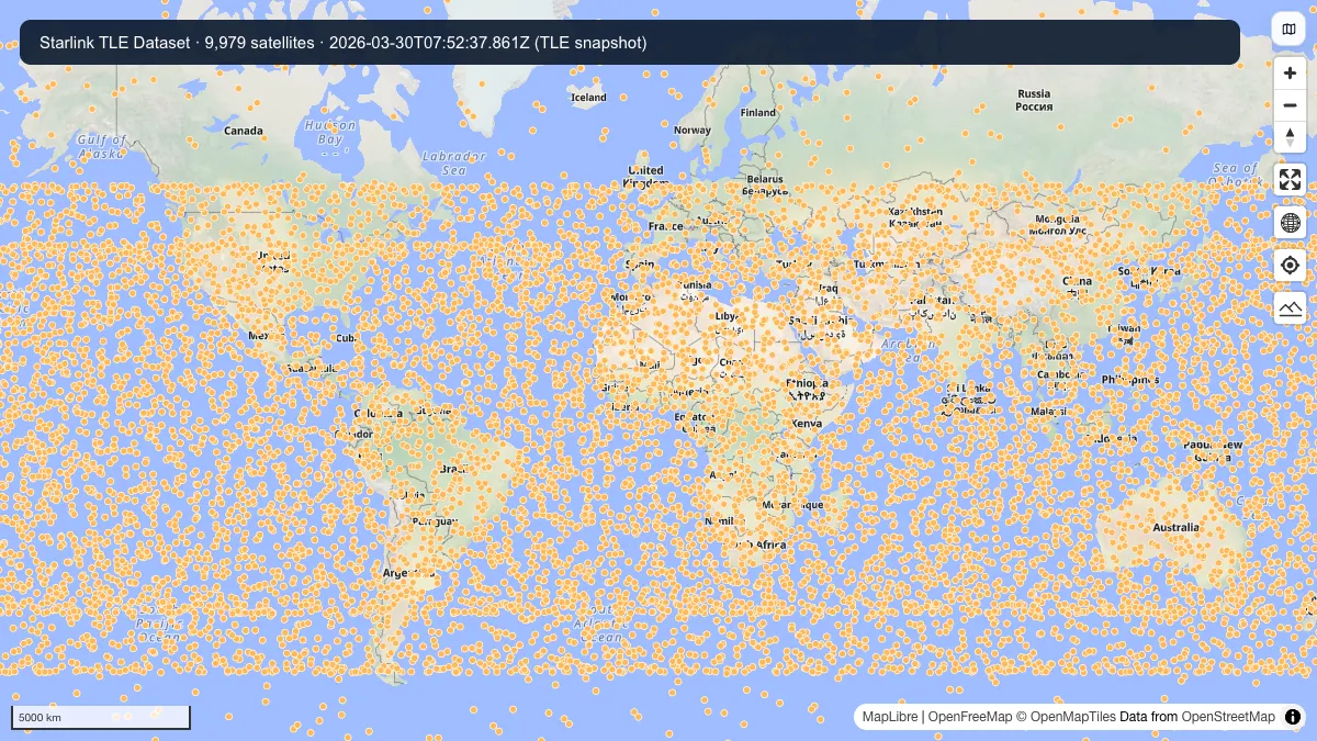
Starlink TLE Dataset
Two-line element records for the active Starlink satellite constellation.
Satellite constellation monitoring LEO research
Internet infrastructure
Hosted GeoJSON and JSON layers for satellite, cable, backbone, data center, DNS, and CDN research.
Quick answer: compare official sources, download formats, coverage, licensing, and practical GIS workflows in this Internet infrastructure directory.
Downloadable datasets in this category
16
Each dataset page captures official source links, access notes, and related GIS workflows.
Official sources and direct access
Mixed delivery
Find provider portals, available file downloads and instructions for accessing each source.
Spatial data guidance
Choose a source
Compare geographic coverage, file formats and reuse terms before choosing data for your map or analysis.
The original datasets section already had strong hosted files for internet infrastructure, so this category preserves that inventory under nested routes.
Keeping these assets in a dedicated branch of the directory avoids losing existing value while aligning the whole section with a better GIS taxonomy.
Downloadable datasets in this category
Open a dataset guide for source links, download steps and practical answers about working with the files.
JSON (TLE)
Two-line element records for the active Starlink satellite constellation.
JSON (TLE)
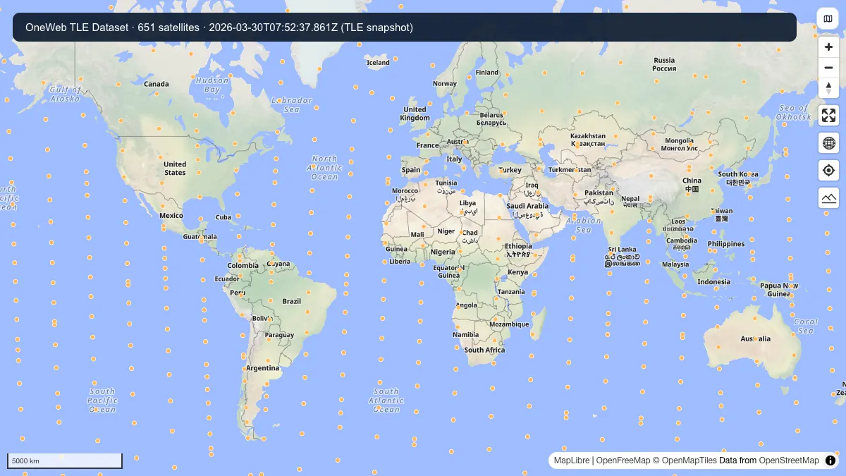
Two-line element records for the OneWeb low Earth orbit satellite network.
JSON (TLE)
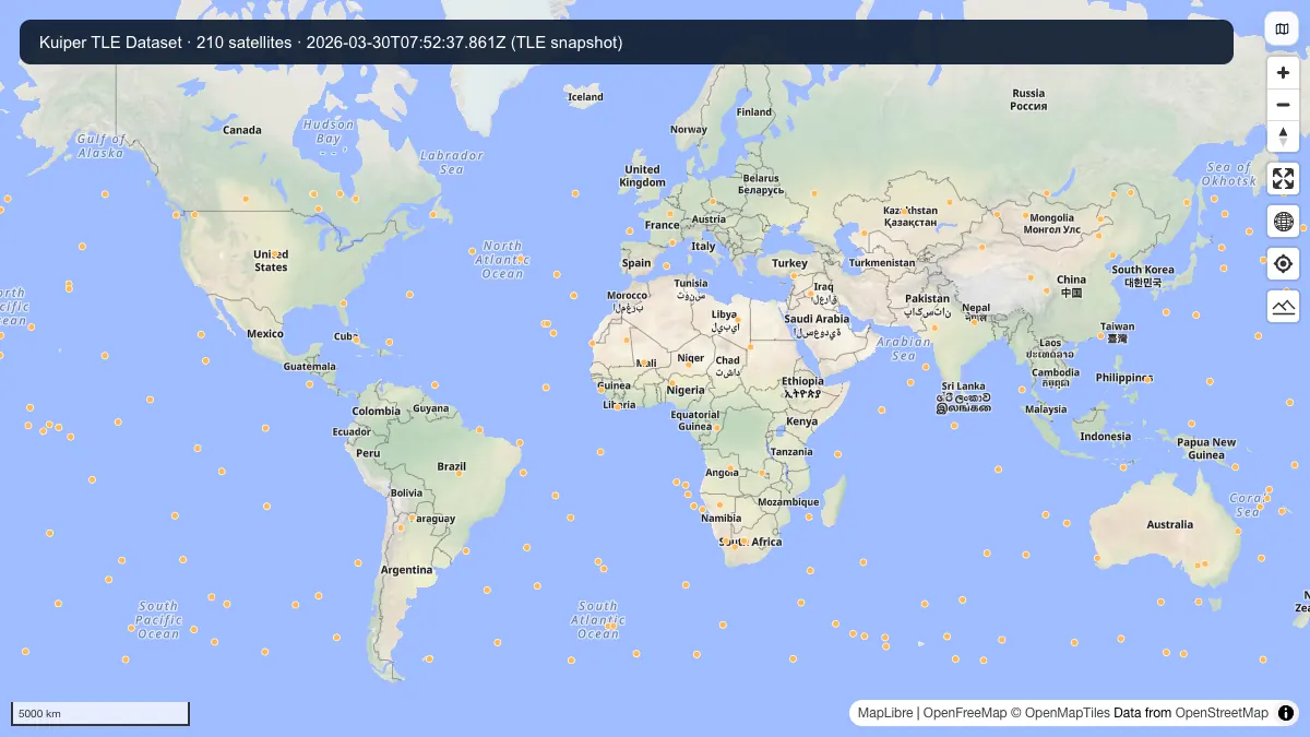
Two-line element records for Amazon Kuiper satellites and related orbital analysis workflows.
JSON (TLE)
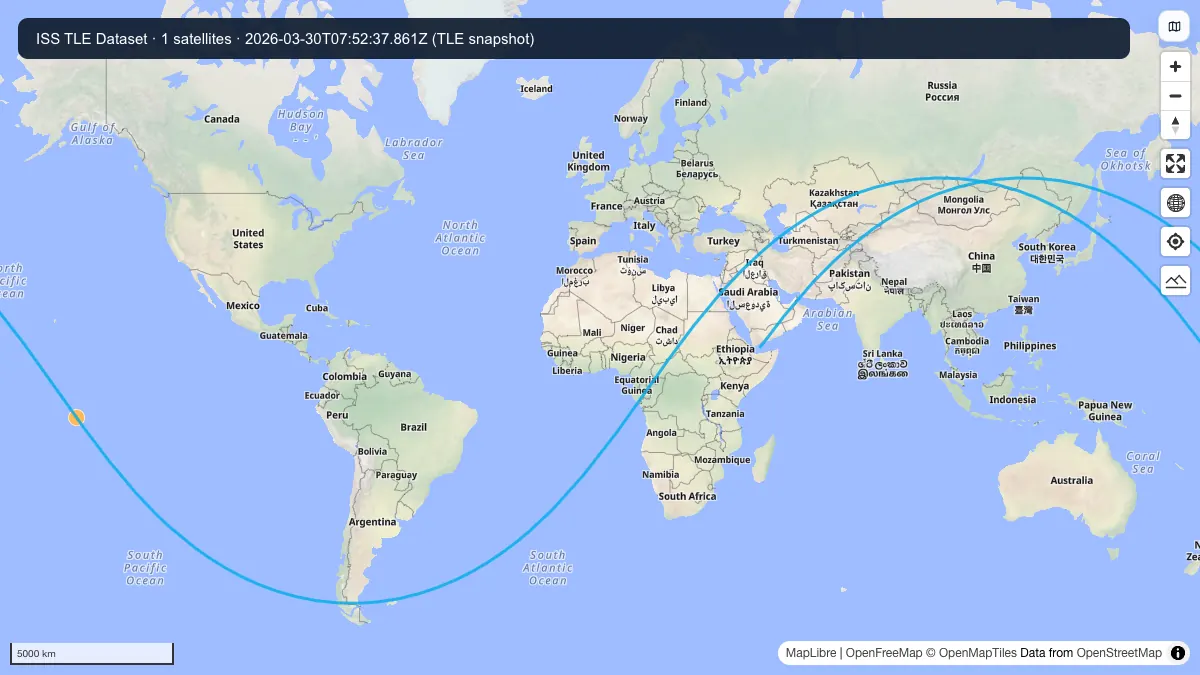
A compact TLE dataset for the International Space Station and related orbital display workflows.
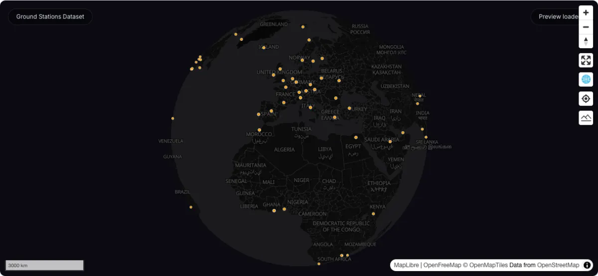
GeoJSON
GeoJSON points for satellite ground stations and related terrestrial support infrastructure.
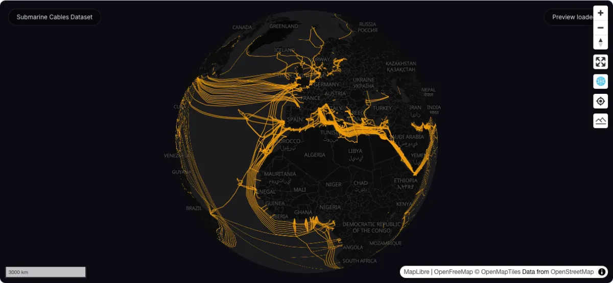
GeoJSON
GeoJSON lines representing subsea cable routes used by the global internet backbone.
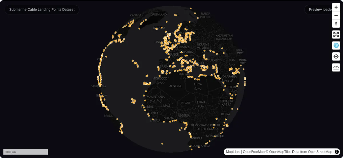
GeoJSON point dataset for terrestrial landing stations that anchor submarine fiber-optic cable systems worldwide.
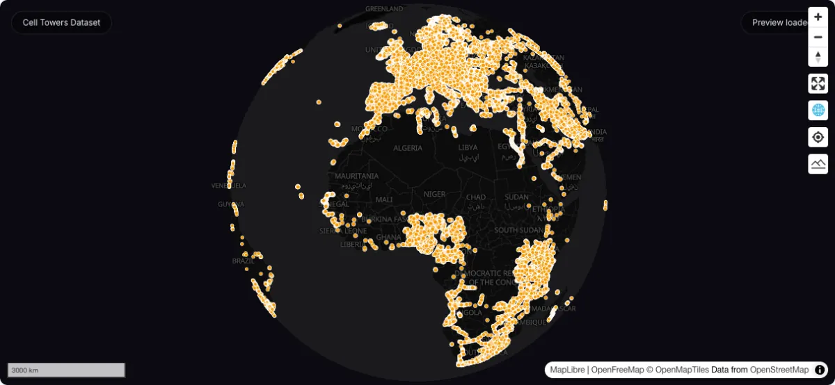
GeoJSON
GeoJSON points for cellular tower infrastructure used in terrestrial wireless network mapping.
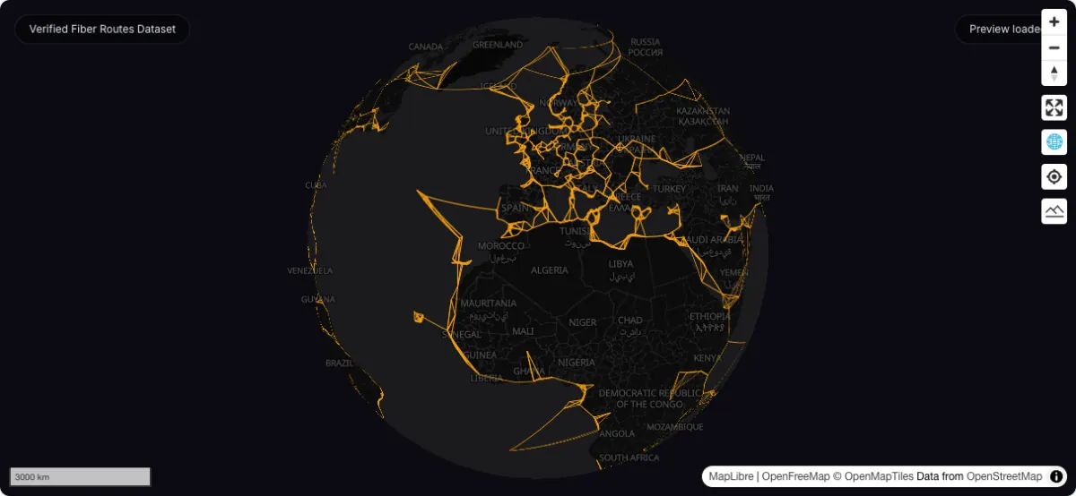
GeoJSON
GeoJSON lines for terrestrial fiber routes — a deduplicated, IXP-cross-validated subset of the estimated routes with per-route confidence levels.
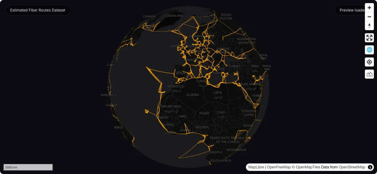
GeoJSON
GeoJSON lines for inferred or approximate terrestrial fiber corridors.
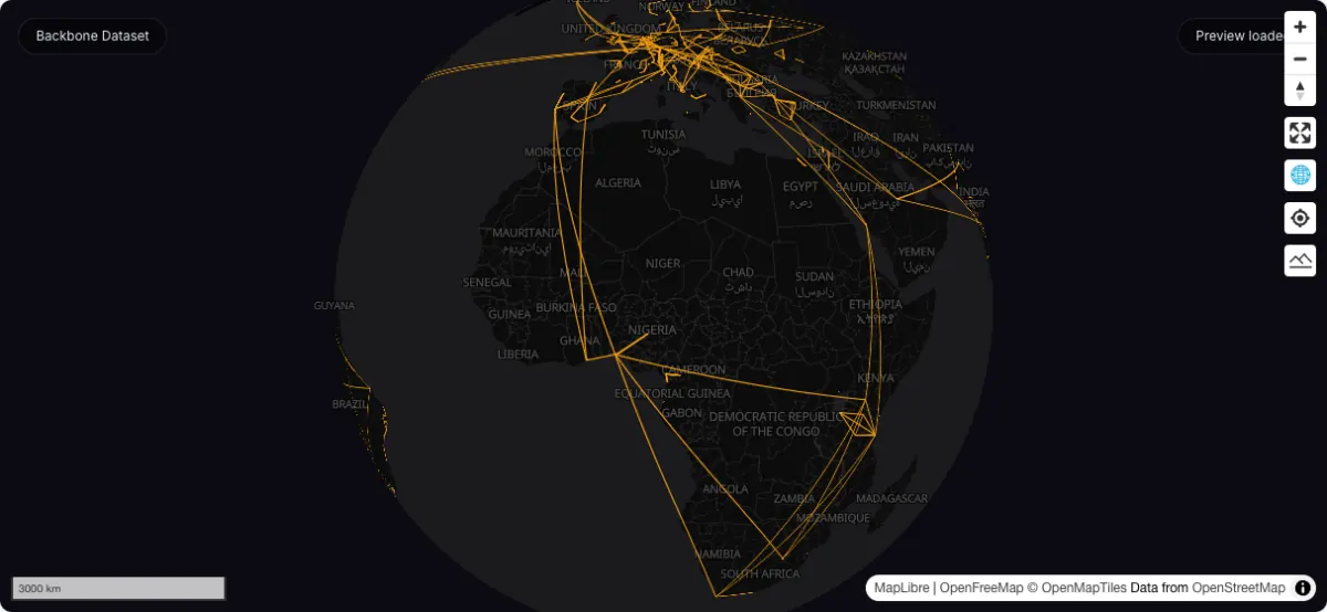
GeoJSON
GeoJSON lines for major terrestrial and long-haul backbone network segments.
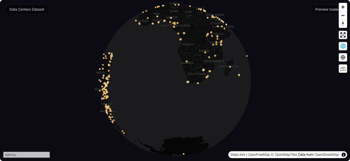
GeoJSON
GeoJSON points for data center locations and colocation infrastructure.
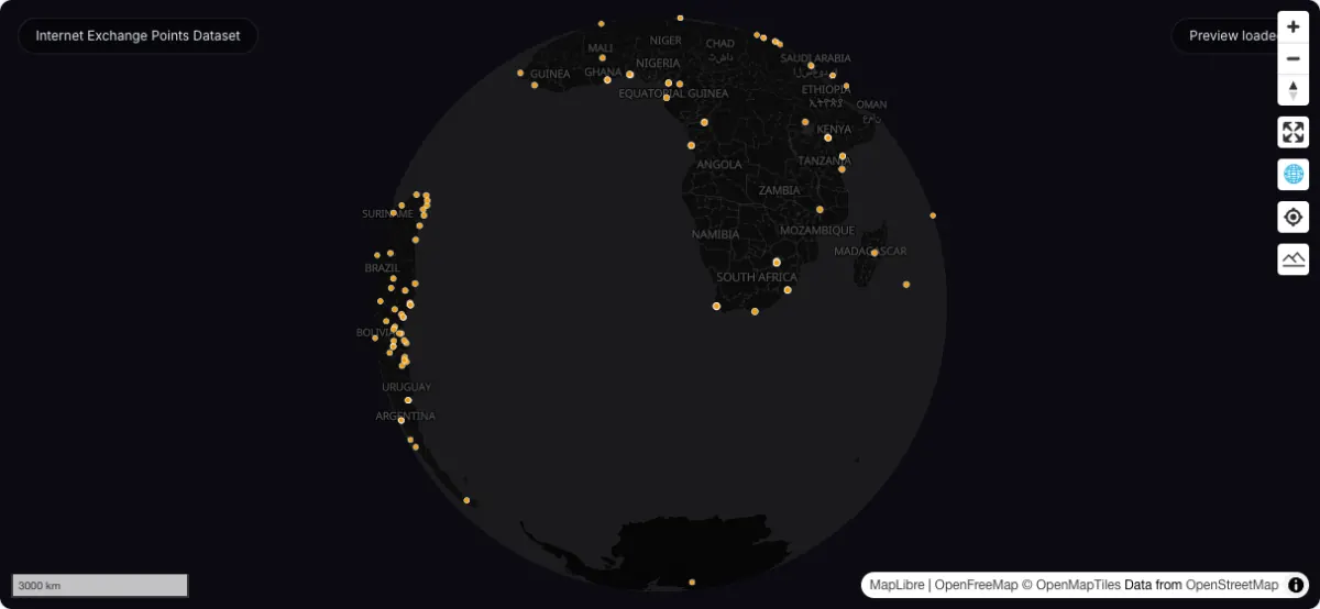
GeoJSON
GeoJSON points for internet exchange point facilities and peering locations.
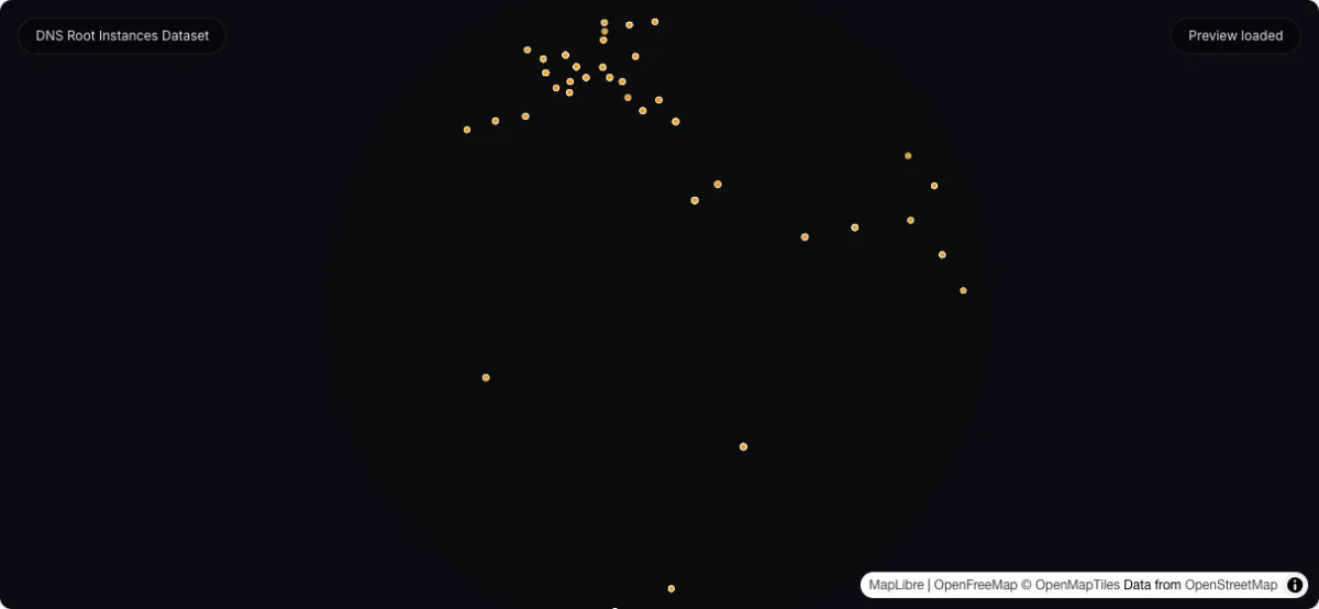
GeoJSON
GeoJSON points for DNS root server instances distributed across global regions.
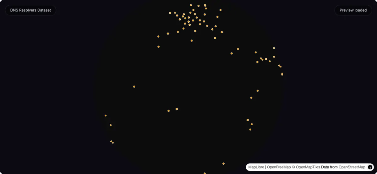
GeoJSON
GeoJSON points for recursive resolver footprints and publicly reachable DNS infrastructure.
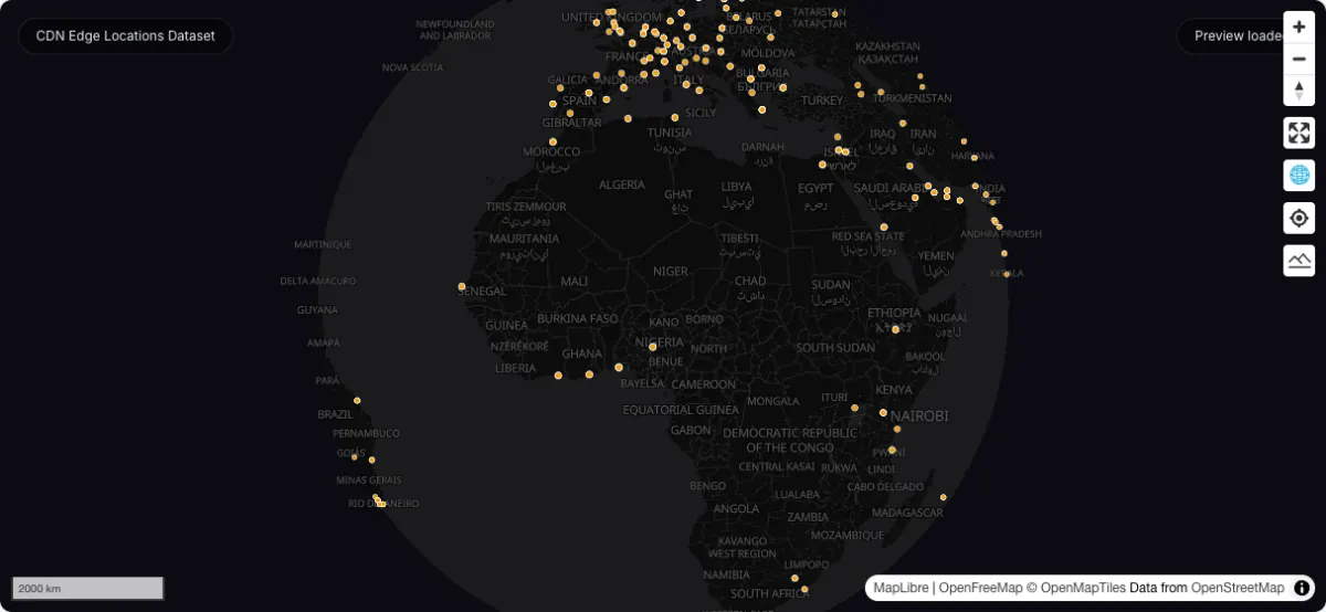
GeoJSON
GeoJSON points for edge delivery infrastructure used to cache and serve internet content close to users.
Recommended infrastructure workflow
Category FAQ
Yes. They now live under nested category URLs so the whole datasets directory can scale beyond a single topic cluster.
Yes. Hosted GeoJSON and JSON infrastructure assets still use the same static GeoDataViewer datasets origin.