Starlink TLE Dataset
Quick answer: The Starlink TLE dataset is a JSON file of two-line element records used to model the orbit of Starlink satellites in low Earth orbit.
About this dataset
Two-line element records for the active Starlink satellite constellation.
Download the Starlink TLE dataset and explore a structured reference page for one of the largest low Earth orbit satellite networks.
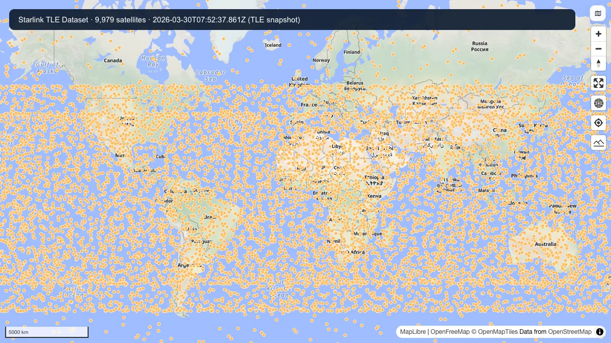
Satellite ground positions propagated with SGP4 from this dataset’s TLE snapshot at 2026-03-30T07:52:37.861Z. Not current live positions. 9979 satellites rendered; map credits are shown in the image.
How to download
- 1 Use the direct download button to fetch the hosted JSON file.
- 2 Open the file in GeoDataViewer or another TLE-aware workflow.
- 3 Pair it with the ground-stations dataset for terrestrial context.
FAQ
What is the Starlink TLE dataset?
It is a machine-readable set of Starlink orbital elements that can be used to estimate satellite positions and orbital paths.
How do I download the Starlink TLE file?
Use the direct download link on this page to fetch the JSON file from the GeoDataViewer static datasets origin.