ESA WorldCover
Quick answer: ESA WorldCover is a free global 10m land-cover dataset (2020 v100 and 2021 v200, ~117 GB across 2,651 COG tiles) you can preview live via WMTS and download from AWS or Zenodo under CC BY 4.0.
About this dataset
Global 10m land cover in 11 classes (2020 and 2021 versions), streamed live through Terrascope WMTS with AWS COG downloads for full analysis.
ESA WorldCover maps global land cover at 10m for 2020 (v100) and 2021 (v200): 2,651 Cloud-Optimized GeoTIFF tiles covering roughly 117 GB, plus Sentinel-1/2 annual composites. The preview above streams the official Terrascope WMTS layer, so you can inspect classes worldwide without downloading a single tile.
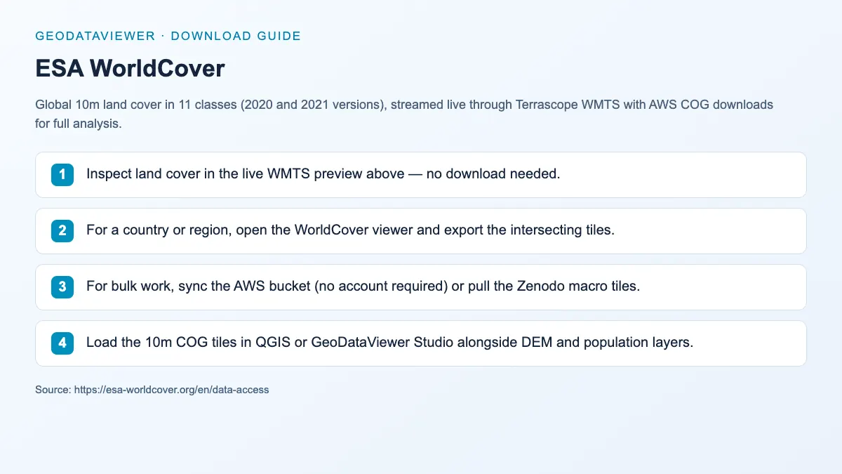
Download steps from this dataset’s GeoDataViewer guide. Follow the original provider for current files and access requirements.
What the 10m product contains
Official ESA WorldCover 2021 v200 figures — the preview above streams the same data, so the download is optional.
2,651 tiles · ~117 GB
3°×3° COGs, EPSG:4326
Each tile carries the 11-class Map layer plus a three-band InputQuality layer describing the Sentinel-1/2 inputs.
11 land-cover classes
Tree cover → moss/lichen
Tree cover, shrubland, grassland, cropland, built-up, bare/sparse, snow/ice, permanent water, herbaceous wetland, mangroves, moss/lichen.
76.7% overall accuracy
Independent validation
Validated by Wageningen University (statistical) and IIASA (spatial) for the 2021 v200 product.
Annual composites since 2023
Sentinel-1/2 median + percentiles
RGBNIR, NDVI, SWIR, and GAMMA0 composites support your own classification work in addition to the ready-made map.
WorldCover class codes
Pixel values in the Map layer. Use these when styling the COG tiles in QGIS or a web raster layer.
| Code | Class | Typical check |
|---|---|---|
| 10 | Tree cover | Canopy height and density from Sentinel-2 |
| 20 | Shrubland | Low woody vegetation outside arid zones |
| 30 | Grassland | Herbaceous cover, rangeland |
| 40 | Cropland | Managed annual crops |
| 50 | Built-up | Impervious surfaces, settlements |
| 60 | Bare / sparse vegetation | Deserts, rock, gravel |
| 70 | Snow and ice | Permanent snow, glaciers |
| 80 | Permanent water bodies | Lakes, reservoirs, rivers |
| 90 | Herbaceous wetland | Marshes, wet grassland |
| 95 | Mangroves | Coastal halophytic forest |
| 100 | Moss and lichen | Polar and alpine non-vascular cover |
Codes follow the ESA WorldCover Product User Manual (v200).
How to download
- 1 Inspect land cover in the live WMTS preview above — no download needed.
- 2 For a country or region, open the WorldCover viewer and export the intersecting tiles.
- 3 For bulk work, sync the AWS bucket (no account required) or pull the Zenodo macro tiles.
- 4 Load the 10m COG tiles in QGIS or GeoDataViewer Studio alongside DEM and population layers.
WorldCover viewer (draw an area, get tiles)
Register with Terrascope to export a zipped tile set
AWS S3 bucket (no sign-up, COG tiles)
aws s3 sync s3://esa-worldcover/v200/2021/map ./local --no-sign-request
Zenodo macrotile archives
WorldCover 2021 v200 as zipped 60°×60° macro tiles
WMTS capabilities
Same service the live preview above uses
FAQ
Do I need to download 117 GB to view WorldCover?
No. The preview on this page streams the same 10m map through the Terrascope WMTS service. Only download COG tiles when you need pixel-level analysis or offline use.
Which version should I use — 2020 or 2021?
Use 2021 v200 for current work; it reaches 76.7% overall accuracy. Compare against 2020 v100 knowing the algorithm changed between versions, so differences mix real change with method changes.
Can I use WorldCover together with DEM data?
Yes. Elevation and land-cover layers complement each other well in thematic terrain maps and environmental workflows — pair the tiles with SRTM or Copernicus DEM.