GeoTIFF (COG) / WMTS
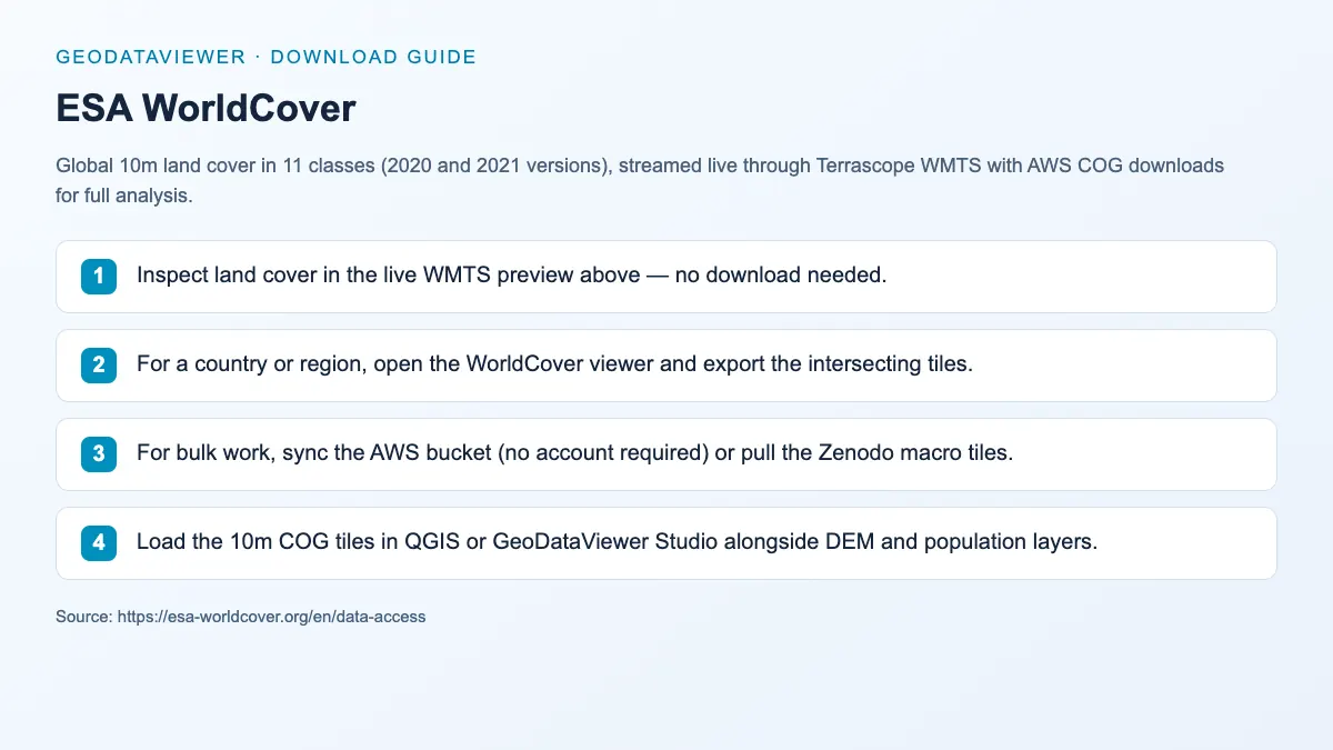
ESA WorldCover
Global 10m land cover in 11 classes (2020 and 2021 versions), streamed live through Terrascope WMTS with AWS COG downloads for full analysis.
Land-cover maps Raster overlays
Land cover
Global land cover and land use datasets such as ESA WorldCover for thematic mapping and analysis.
Quick answer: compare official sources, download formats, coverage, licensing, and practical GIS workflows in this Land cover directory.
Downloadable datasets in this category
9
Each dataset page captures official source links, access notes, and related GIS workflows.
Official sources and direct access
Mixed delivery
Find provider portals, available file downloads and instructions for accessing each source.
Spatial data guidance
Choose a source
Compare geographic coverage, file formats and reuse terms before choosing data for your map or analysis.
Land-cover pages are written for users looking for 10m to 30m classification rasters, not just raw catalog listings.
The category explains how to access service endpoints and static downloads, which improves usefulness for both traditional and AI search.
Downloadable datasets in this category
Open a dataset guide for source links, download steps and practical answers about working with the files.
GeoTIFF (COG) / WMTS
Global 10m land cover in 11 classes (2020 and 2021 versions), streamed live through Terrascope WMTS with AWS COG downloads for full analysis.
GeoTIFF / Shapefile (WMS preview)
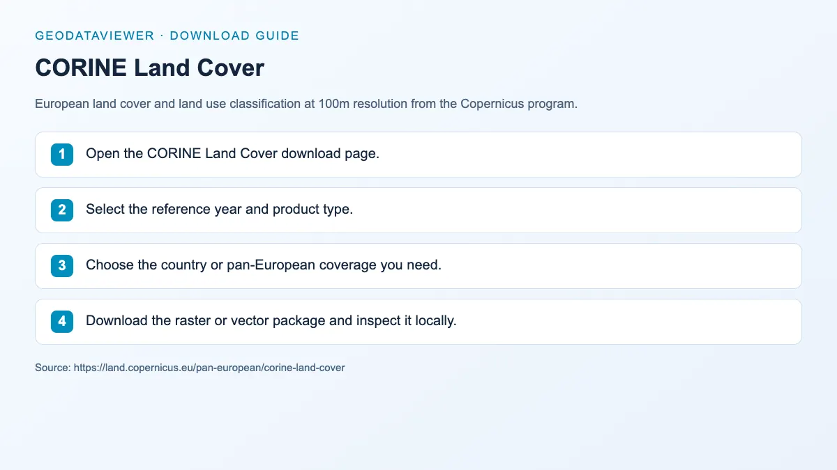
European land cover and land use classification at 100m resolution from the Copernicus program.
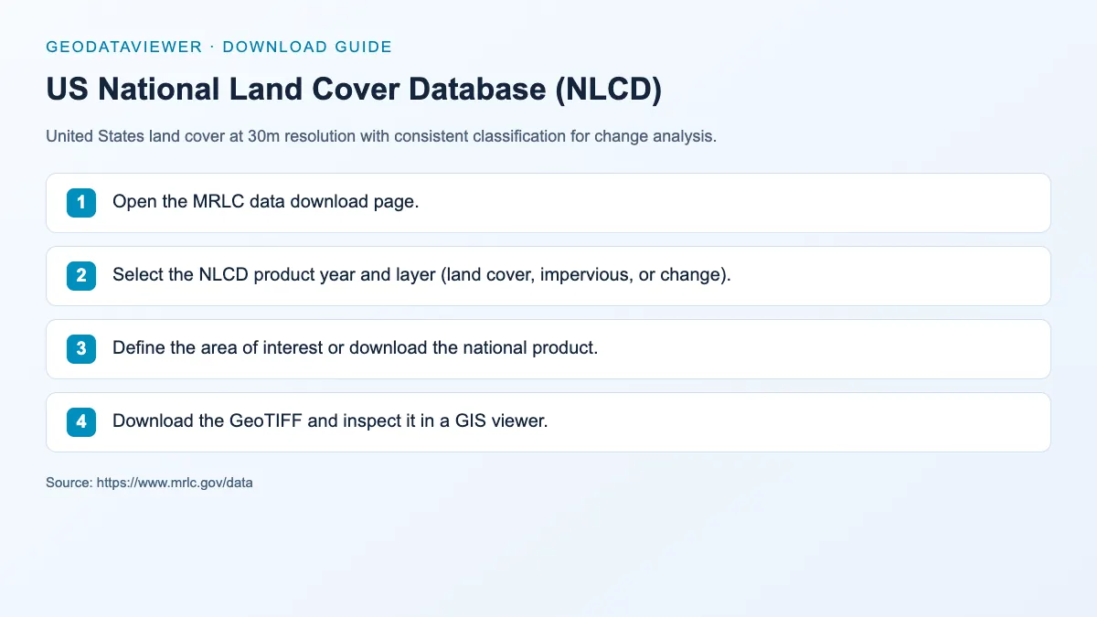
United States land cover at 30m resolution with consistent classification for change analysis.
HDF / GeoTIFF / WMTS
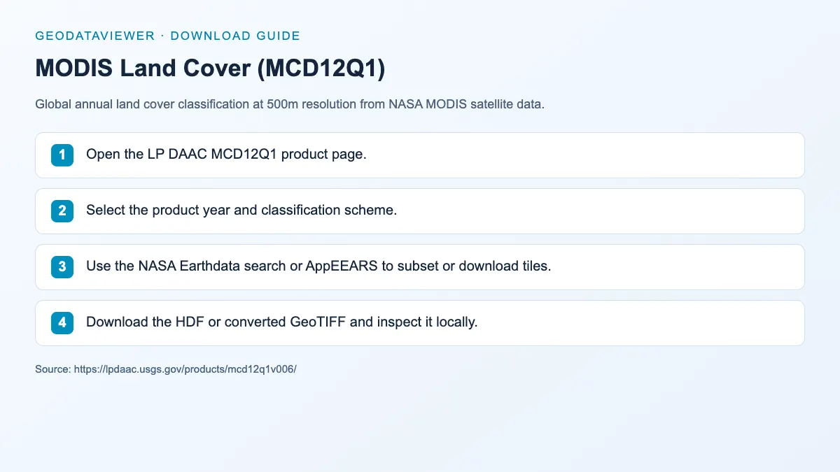
Global annual land cover classification at 500m resolution from NASA MODIS satellite data.
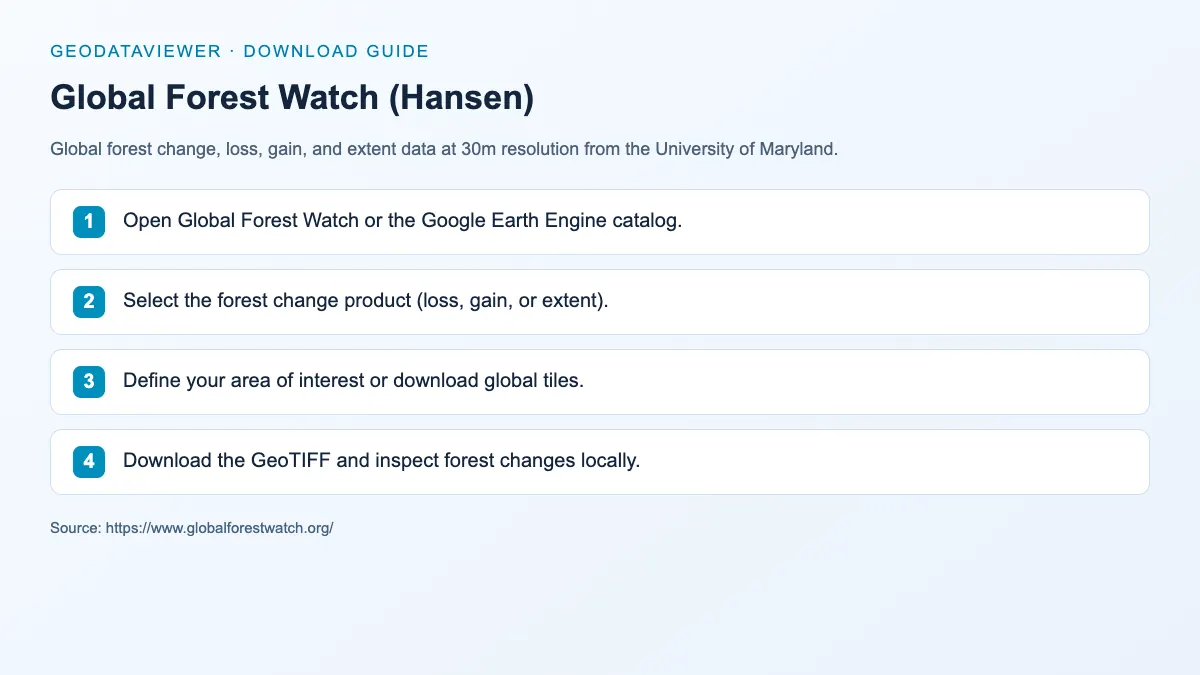
GeoTIFF
Global forest change, loss, gain, and extent data at 30m resolution from the University of Maryland.
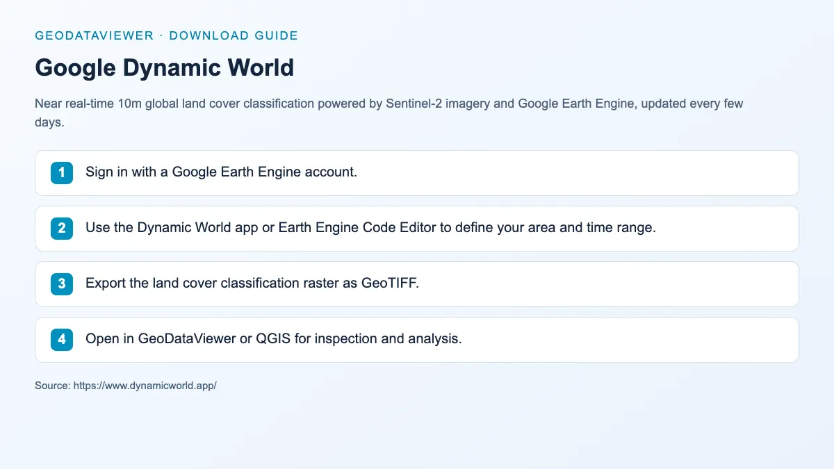
GeoTIFF / COG
Near real-time 10m global land cover classification powered by Sentinel-2 imagery and Google Earth Engine, updated every few days.
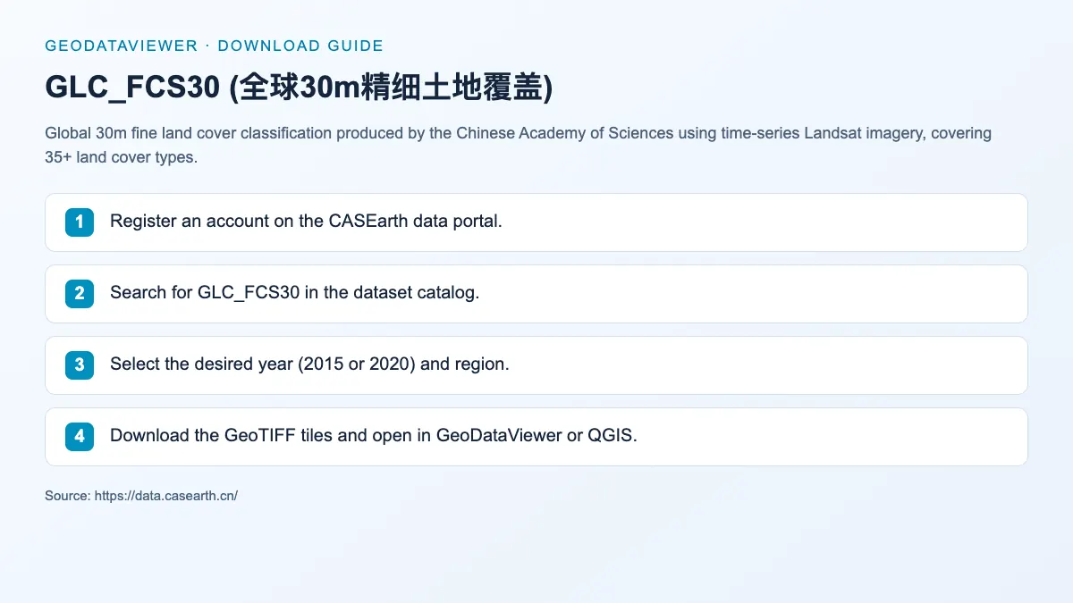
GeoTIFF
Global 30m fine land cover classification produced by the Chinese Academy of Sciences using time-series Landsat imagery, covering 35+ land cover types.
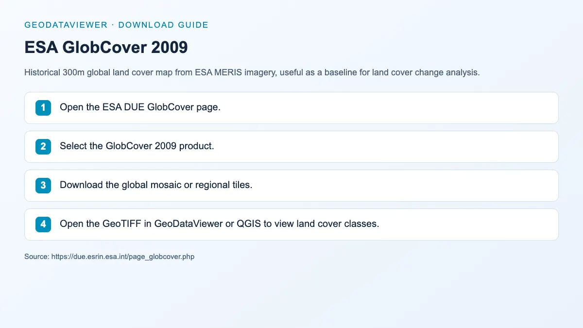
GeoTIFF
Historical 300m global land cover map from ESA MERIS imagery, useful as a baseline for land cover change analysis.
GeoJSON / Parquet
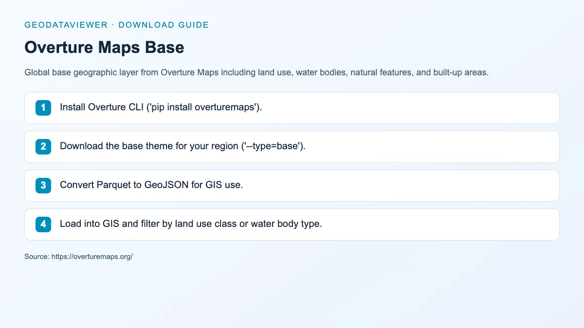
Global base geographic layer from Overture Maps including land use, water bodies, natural features, and built-up areas.
Recommended land-cover workflow
Category FAQ
ESA WorldCover is one of the best-known free global options because it offers 10m classes and service endpoints that are straightforward to inspect.
Not exactly. Land cover usually describes observed surface classes, while land use is more about human activity or planning context.