MODIS Land Cover (MCD12Q1)
Quick answer: MODIS MCD12Q1 provides global annual land cover classification at 500m resolution, derived from NASA MODIS satellite observations.
About this dataset
Global annual land cover classification at 500m resolution from NASA MODIS satellite data.
Download MODIS MCD12Q1 global land cover products for annual classification and land surface dynamics analysis.
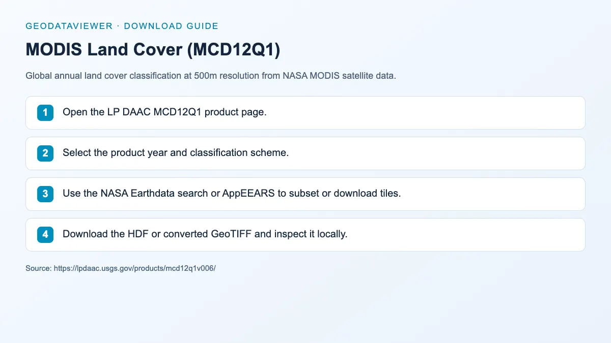
Download steps from this dataset’s GeoDataViewer guide. Follow the original provider for current files and access requirements.
IGBP land-cover classes in the preview
The GIBS layer renders the IGBP scheme, the same classification carried in band 1 of MCD12Q1.
| Code | IGBP class |
|---|---|
| 1 | Evergreen needleleaf forest |
| 2 | Evergreen broadleaf forest |
| 3 | Deciduous needleleaf forest |
| 4 | Deciduous broadleaf forest |
| 5 | Mixed forest |
| 6 | Closed shrubland |
| 7 | Open shrubland |
| 8 | Woody savanna |
| 9 | Savanna |
| 10 | Grassland |
| 11 | Permanent wetland |
| 12 | Cropland |
| 13 | Urban and built-up |
| 14 | Cropland / natural vegetation mosaic |
| 15 | Snow and ice |
| 16 | Barren |
| 17 | Water bodies |
Class codes follow the MCD12Q1 v6.1 product specification.
How to download
- 1 Open the LP DAAC MCD12Q1 product page.
- 2 Select the product year and classification scheme.
- 3 Use the NASA Earthdata search or AppEEARS to subset or download tiles.
- 4 Download the HDF or converted GeoTIFF and inspect it locally.
FAQ
What classification schemes does MCD12Q1 offer?
MCD12Q1 includes multiple classification schemes such as IGBP, UMD, LAI/fPAR, and NPP. The live preview above uses the IGBP scheme.
How do I download MODIS land cover tiles?
Use the LP DAAC AppEEARS service for area-based subsets or download full tiles via NASA Earthdata (free login).
Do I need to download anything to see land cover?
No. The preview streams NASA GIBS tiles of the latest annual product; download only when you need yearly series or pixel analysis.