CORINE Land Cover
Quick answer: CORINE Land Cover is the standard European land cover dataset with 100m resolution and detailed classes for environmental and planning workflows.
Format GeoTIFF / Shapefile (WMS preview)
Coverage Europe
Resolution 100m
License Free open access
Update 6-year cycles
About this dataset
European land cover and land use classification at 100m resolution from the Copernicus program.
Download CORINE Land Cover for European land use and land cover mapping with detailed classification classes and regular updates.
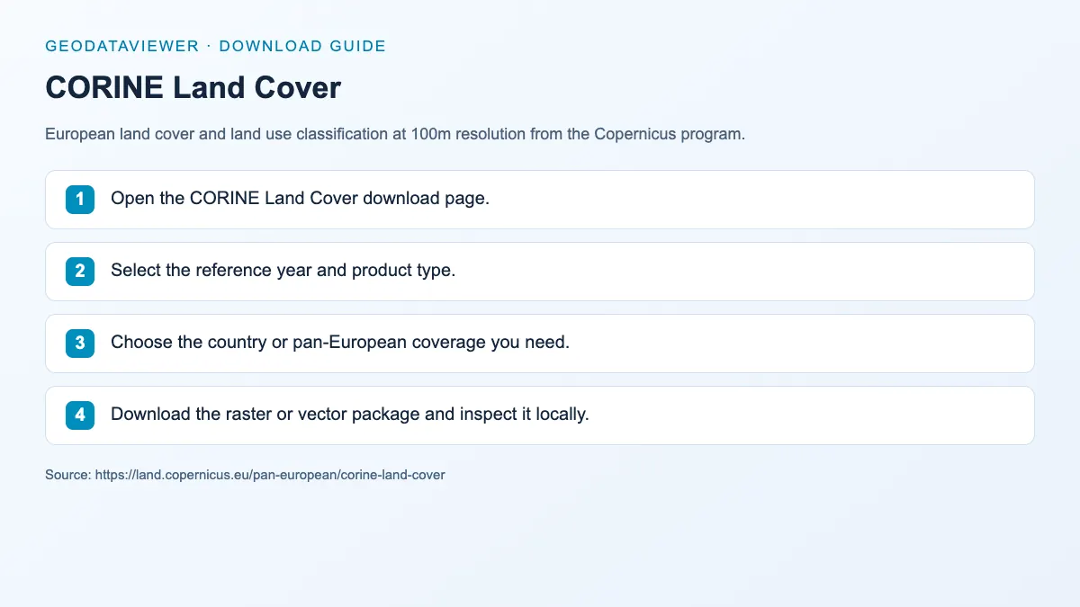
Download steps from this dataset’s GeoDataViewer guide. Follow the original provider for current files and access requirements.
European land use mapping Urban planning analysis Environmental change detection
How to download
- 1 Open the CORINE Land Cover download page.
- 2 Select the reference year and product type.
- 3 Choose the country or pan-European coverage you need.
- 4 Download the raster or vector package and inspect it locally.
FAQ
What area does CORINE Land Cover cover?
CORINE covers Europe, including EU member states and some neighboring regions, at 100m resolution.
How often is CORINE updated?
CORINE is typically updated on a 6-year cycle with periodic revisions.