World Settlement Footprint (WSF)
Quick answer: WSF from DLR is a global 10m resolution built-up/not-built-up mask derived from Sentinel-1 and Sentinel-2 imagery using deep learning.
Next step
Already have the export?
Open a GeoJSON result in the browser to inspect its map and attributes before sharing or converting it again.
Format
GeoTIFF
Geometry
Raster (settlement mask)
Coverage
Global
Resolution
~10m
About this dataset
DLR's global settlement mask at ~10m resolution distinguishing built-up from non-built-up areas using Sentinel-1 and Sentinel-2.
The World Settlement Footprint (WSF) from the German Aerospace Center (DLR) provides a global binary settlement mask at ~10m resolution. It uses Sentinel-1 SAR and Sentinel-2 optical imagery with machine learning to distinguish built-up land from natural surfaces, offering the finest free global settlement classification available.
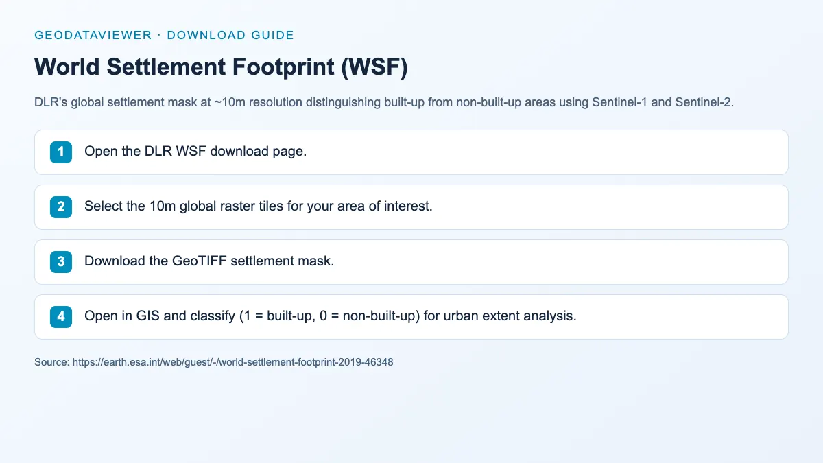
Download steps from this dataset’s GeoDataViewer guide. Follow the original provider for current files and access requirements.
How to download
- 1 Open the DLR WSF download page.
- 2 Select the 10m global raster tiles for your area of interest.
- 3 Download the GeoTIFF settlement mask.
- 4 Open in GIS and classify (1 = built-up, 0 = non-built-up) for urban extent analysis.
FAQ
Difference between WSF and GHSL built-up?
WSF provides a binary settlement mask at 10m using Sentinel imagery, while GHSL offers built-up area percentage at 30m-1km with multi-temporal data.
Can I use WSF with building footprint data?
Yes. WSF identifies which areas are built-up at the pixel level, while building footprints provide individual building polygons.