MODIS Vegetation Indices (NDVI/EVI)
Quick answer: MODIS NDVI/EVI provides 250m-1km global vegetation data from 2000-present — the standard time series for vegetation monitoring.
About this dataset
MODIS 250m-1km global NDVI and EVI vegetation index data from 2000-present with 16-day composites.
MODIS Vegetation Indices (MOD13Q1/MYD13Q1) provide the most widely used satellite vegetation time series. Available at 250m resolution with 16-day composites, including NDVI, EVI, and quality assurance bands since February 2000.
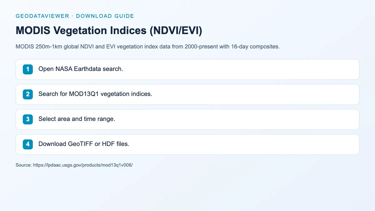
Download steps from this dataset’s GeoDataViewer guide. Follow the original provider for current files and access requirements.
How to download
- 1 Open NASA Earthdata search.
- 2 Search for MOD13Q1 vegetation indices.
- 3 Select area and time range.
- 4 Download GeoTIFF or HDF files.
FAQ
NDVI vs EVI?
NDVI is the classic greenness index. EVI improves sensitivity in high-biomass areas. Both are available from MODIS.
How long is the record?
From February 2000 (Terra) to present — over 24 years of consistent global data.